View the series
View the series
Only available for non-commercial distribution
© CNRS / BnF - 2019
Reference
6888
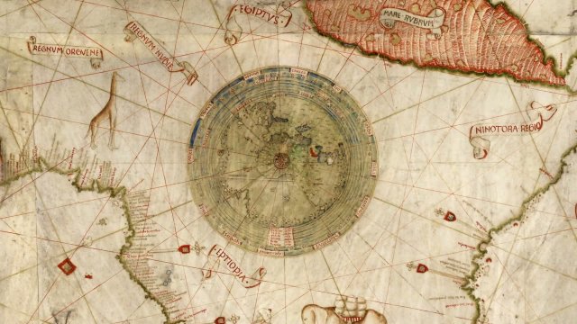
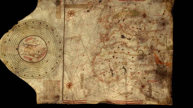
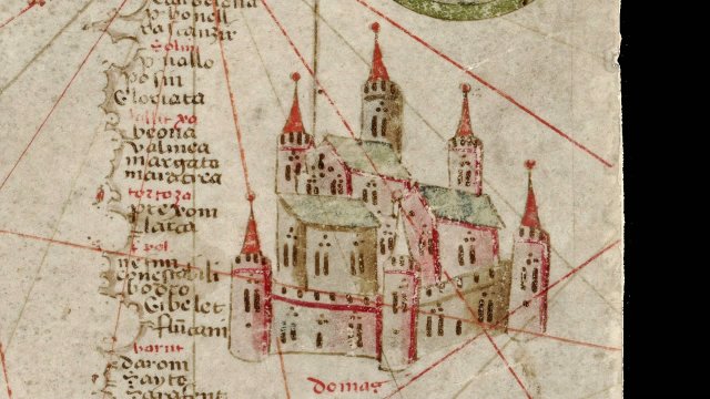
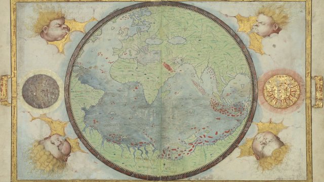
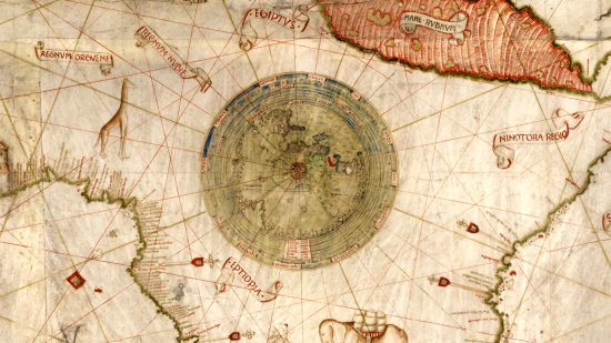
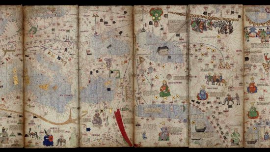
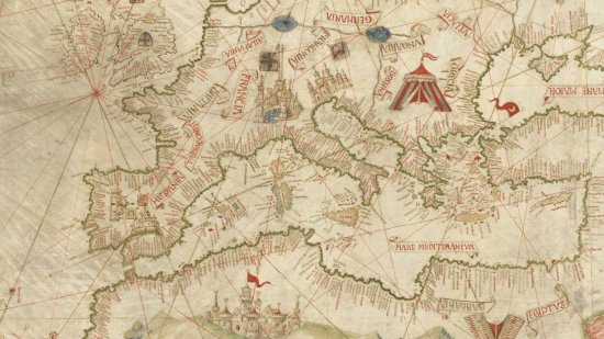
Nautical Atlas of the North-East Atlantic Ocean, the Mediterranean Sea and the Black Sea by Grazioso Benincasa, 1467
Series title
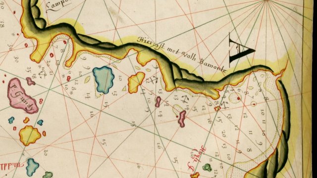
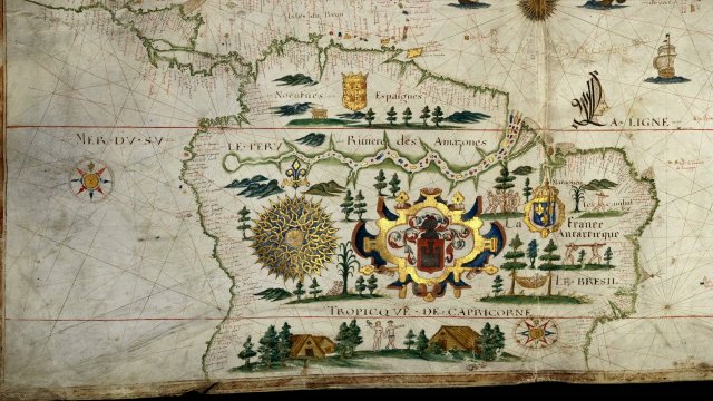
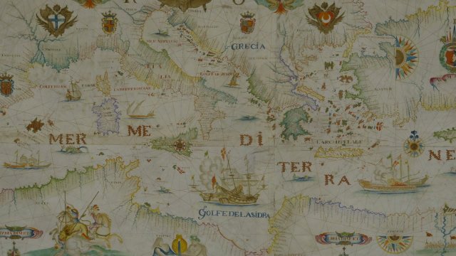
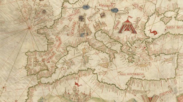
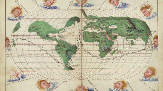
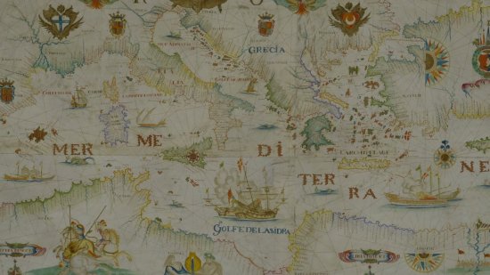
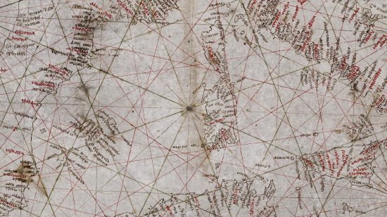
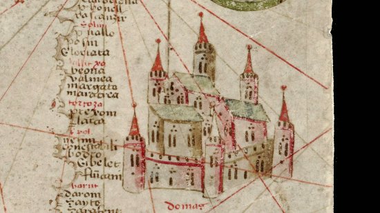
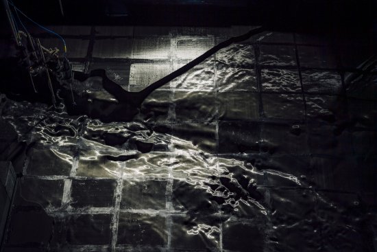
At the Heat of the MapsThe author of this atlas was a former ship captain and produced a large number of atlases and maps in Venice and Rome in the second half of the 15th century. These maps show the Mediterranean Sea and the Black Sea, and also the coasts and islands of the Atlantic Ocean from England to the shores of Africa which the Portuguese had recently explored.
A map kept at the French national library BnF (Bibliothèque nationale de France), Maps and Plans Department, shelf mark number GE DD-1988 (RES)
View this document in the digital Gallica library:
https://gallica.bnf.fr/ark:/12148/btv1b5901110p?rk=42918;4
Duration
00:04:07
Production year
Définition
HD
Color
Color
Sound
Sound
Version(s)
French
Original material
HD
Add to my selection
Terms of use
The use of media visible on the CNRS Images Platform can be granted on request. Any reproduction or representation is forbidden without prior authorization from CNRS Images (except for resources under Creative Commons license).
No modification of an image may be made without the prior consent of CNRS Images.
No use of an image for advertising purposes or distribution to a third party may be made without the prior agreement of CNRS Images.
For more information, please consult our general conditions