View the series
View the series
Only available for non-commercial distribution
© CNRS / BnF - 2019
Reference
6872
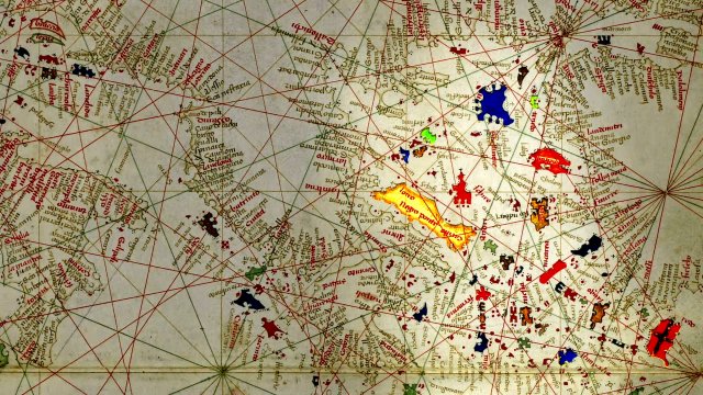
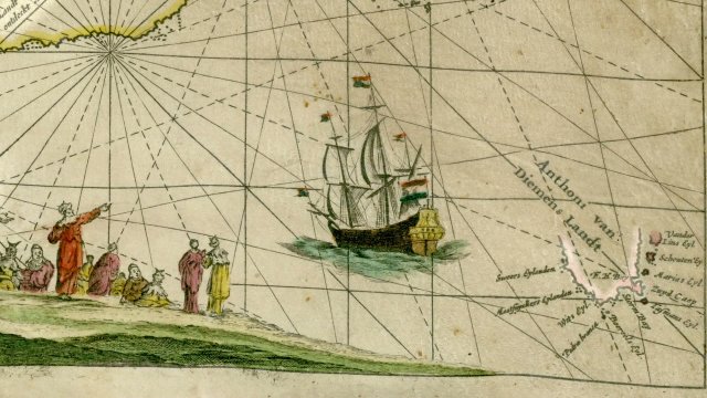
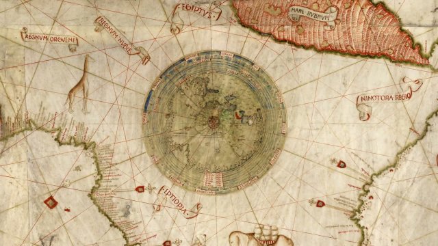
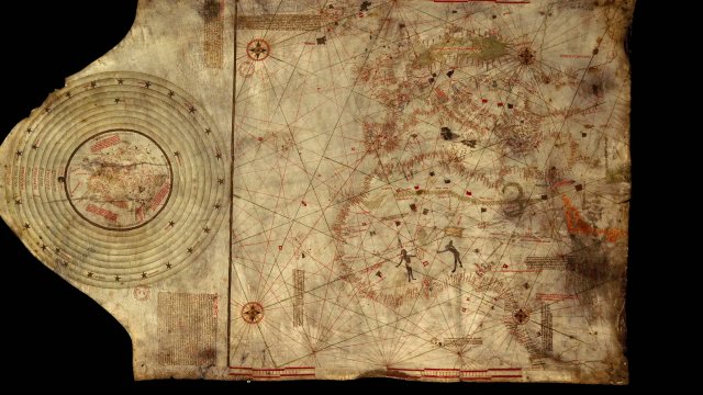
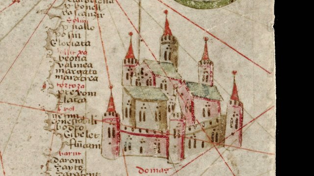
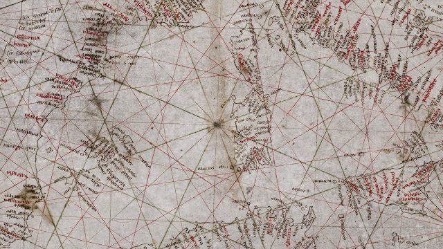
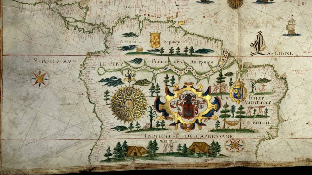
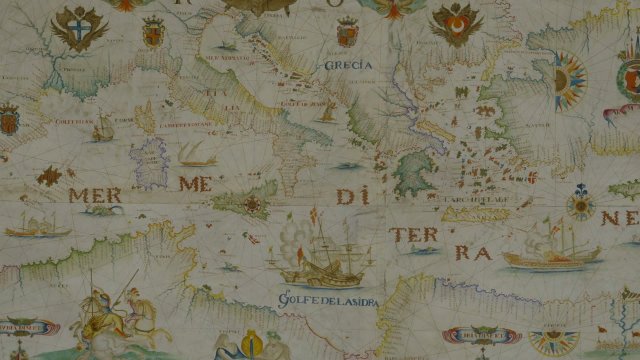
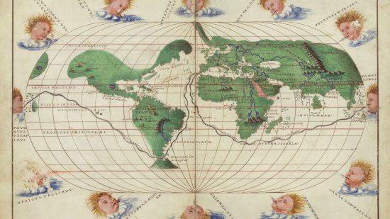
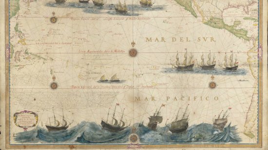
Map of the Sunda Strait by John Thornton, 1699
Series title
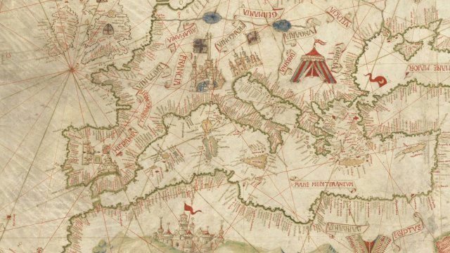
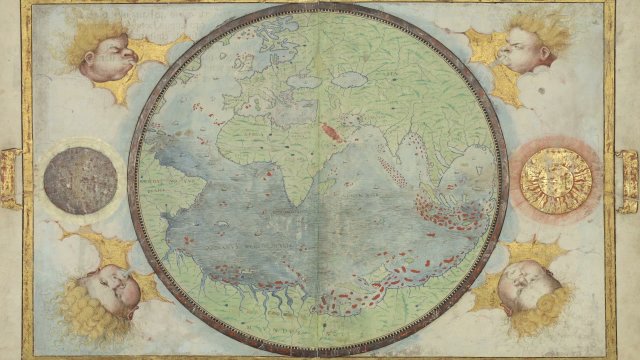
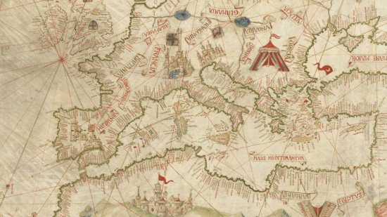
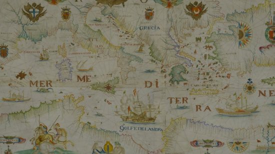
At the Heat of the MapsThe author of this 1699 nautical chart, John Thornton, served with two English trading companies. The Island of Sumatra, the Straits of Malacca and the Sunda which are shown here were strategic passages to Southeast Asia and the Spice Islands. The style of this portolan, its harmony of colours and careful handwriting are the essential characteristics of the works of this English cartographer.
A map kept at the French national library BnF (Bibliothèque nationale de France), Maps and Plans Department, shelf mark number GE SH 18 PF 194 DIV 2 P 4 RES
View this document in the digital Gallica library:
https://gallica.bnf.fr/ark:/12148/btv1b5905708x
Duration
00:03:57
Production year
Définition
HD
Color
Color
Sound
Sound
Version(s)
French
Original material
HD
Add to my selection
Terms of use
The use of media visible on the CNRS Images Platform can be granted on request. Any reproduction or representation is forbidden without prior authorization from CNRS Images (except for resources under Creative Commons license).
No modification of an image may be made without the prior consent of CNRS Images.
No use of an image for advertising purposes or distribution to a third party may be made without the prior agreement of CNRS Images.
For more information, please consult our general conditions