View the series
View the series
Only available for non-commercial distribution
© CNRS / BnF, 2019
Reference
6877
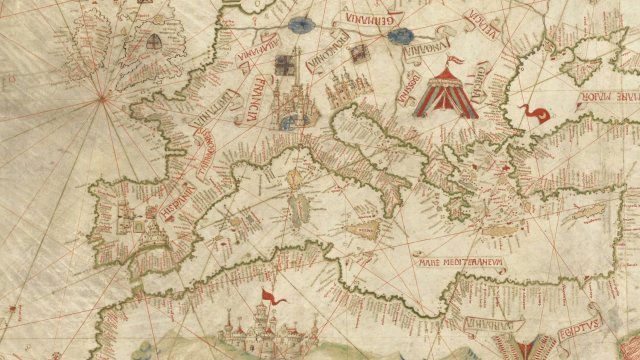
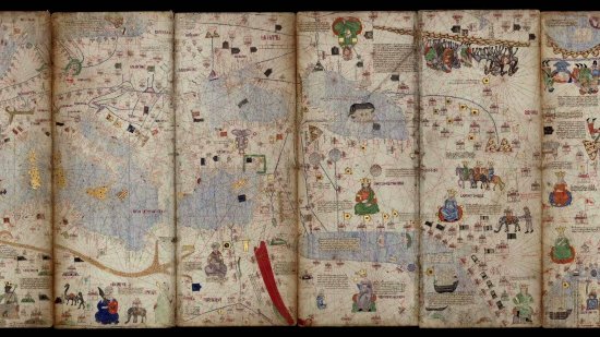
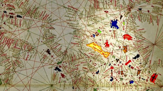
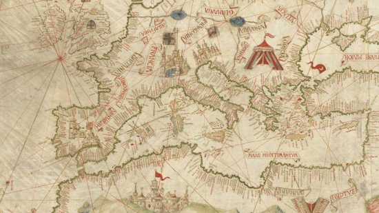
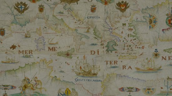
Nautical chart of the North-East Atlantic, the Baltic Sea, the Mediterranean Sea and the Black Sea by Christopher Columbus - 14th Century
Series title
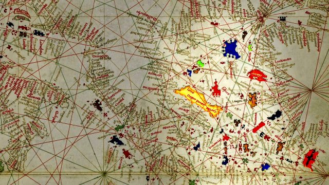
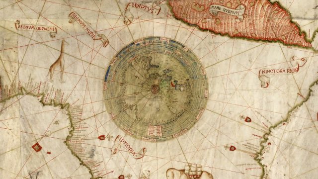
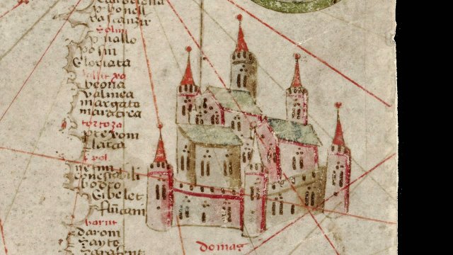
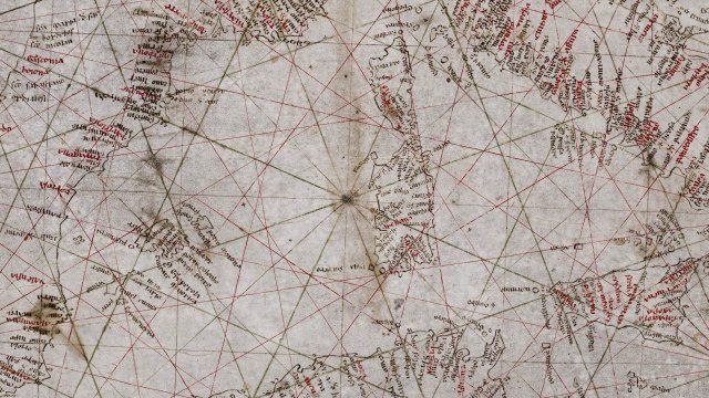
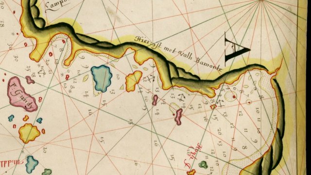
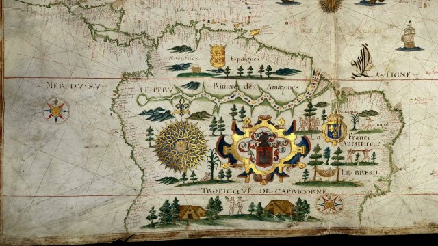
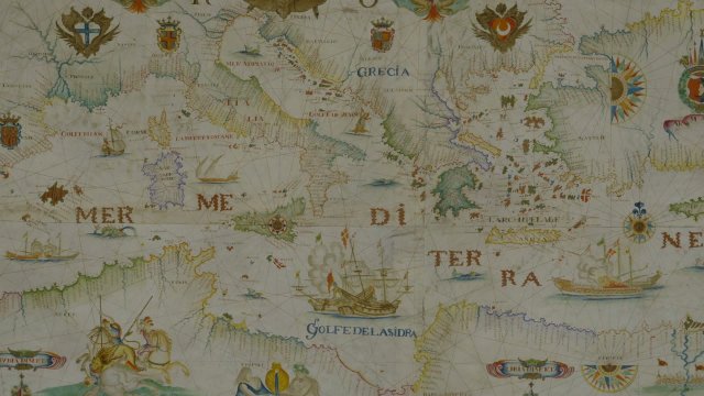
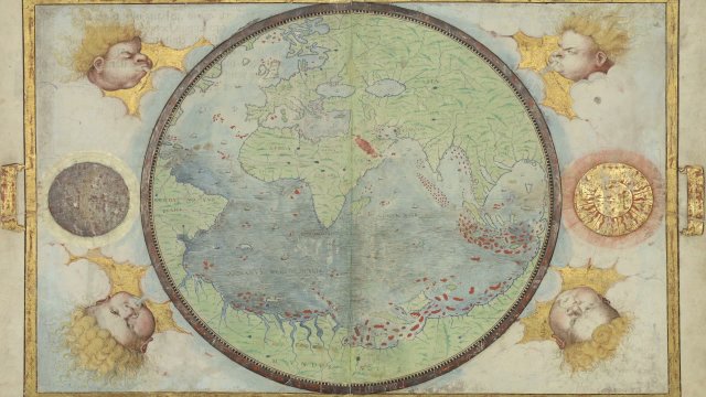
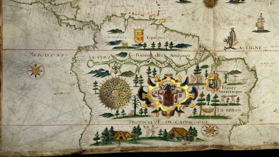
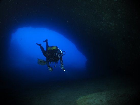
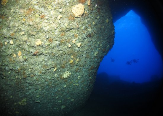
At the Heat of the MapsThis 15th century anonymous nautical chart could not be accurately dated. Charles de La Roncière ascribed it to Christopher Columbus in 1924. This portolan is divided into two parts by a line enhanced with gold and which represent two distinct spaces. The right-hand side is a nautical chart of the Mediterranean and includes Portuguese discoveries in Africa extending as far as the Gulf of Guinea, and also speculative territories in the North Atlantic Ocean. A small world map is depicted on the left, which encapsulates European geographical knowledge on the brink of the discovery of America. It is enclosed in nine celestial circles reflecting the geocentric view of the universe that still prevailed at the time.
A map kept at the French national library BnF (Bibliothèque nationale de France), Maps and Plans Department, shelf mark number GE AA-562 (RES)
View this document in the digital Gallica library:
https://gallica.bnf.fr/ark:/12148/btv1b59062629
Duration
00:04:35
Production year
Définition
HD
Color
Color
Sound
Sound
Version(s)
French
Original material
HD
Add to my selection
Terms of use
The use of media visible on the CNRS Images Platform can be granted on request. Any reproduction or representation is forbidden without prior authorization from CNRS Images (except for resources under Creative Commons license).
No modification of an image may be made without the prior consent of CNRS Images.
No use of an image for advertising purposes or distribution to a third party may be made without the prior agreement of CNRS Images.
For more information, please consult our general conditions