14 media
Add to my selection
Series
At the heart of the maps
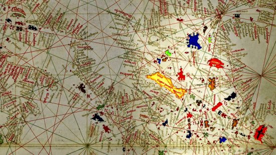
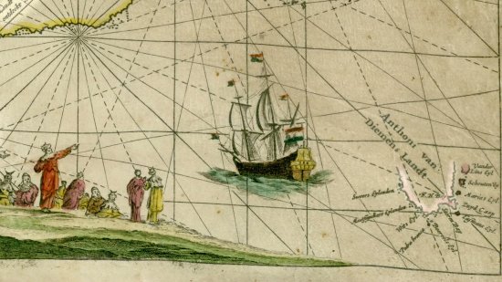
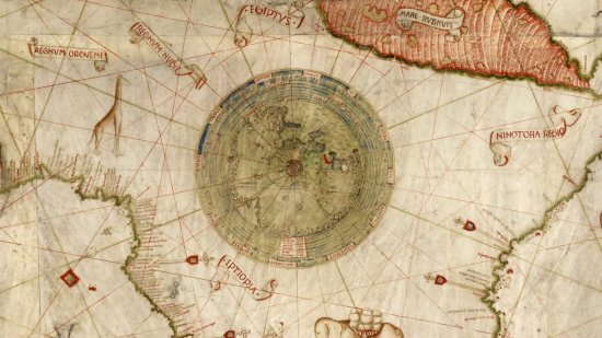
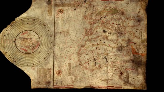
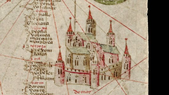
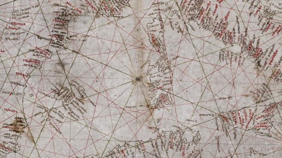
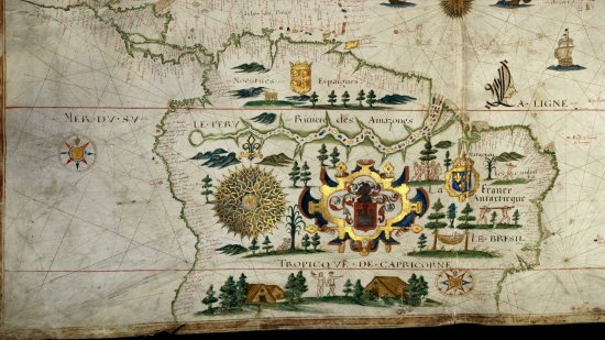
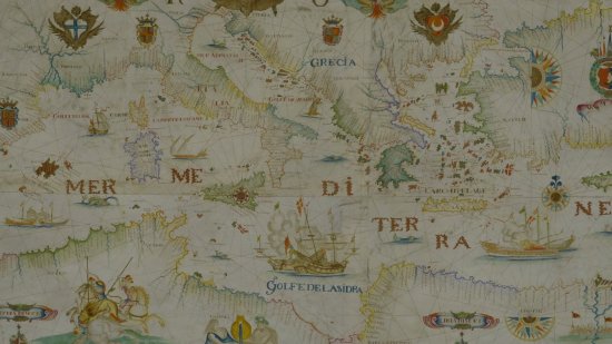
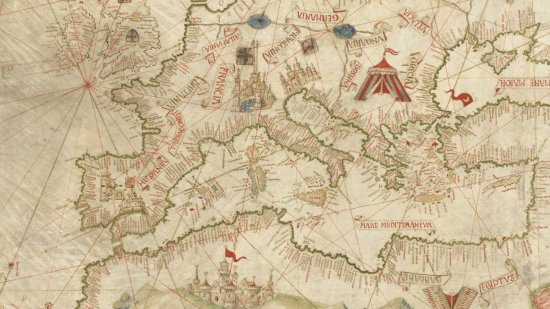
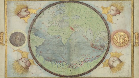
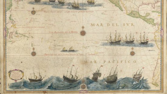
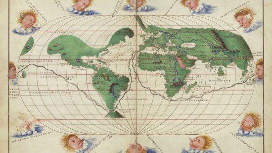
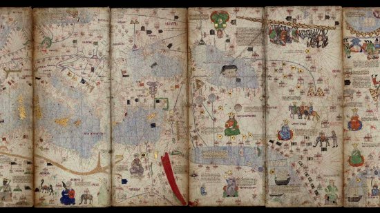
The French national library BnF (Bibliothèque Nationale de France) and CNRS Images present "At the heart of maps", a series of fourteen short documentary films on nautical maps, also called portolans.
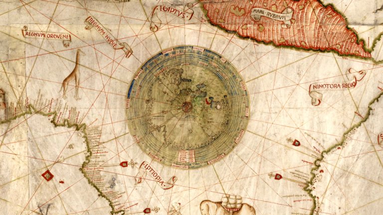
The Bnf holds such rare and little-known documents drawn by hand and dating from the 13th to 17th centuries in its collections. All these, from the oldest known portolan chart - the Pisana Carta - to the Dutch maps of the 17th century, through the sumptuous Miller Atlas, with their wind lines, place names, distance scales, but also coats of arms, real or mythical cities, spices and other exotic riches which are calls of wide horizons and for travel.
These series deciphers every detail and reveals how Europeans viewed the world. It shows the dual role of these maps which were essential for naval mastery and for the dissemination of exploration results in the Age of Discovery.
These series deciphers every detail and reveals how Europeans viewed the world. It shows the dual role of these maps which were essential for naval mastery and for the dissemination of exploration results in the Age of Discovery.
CNRS Images,
Our work is guided by the way scientists question the world around them and we translate their research into images to help people to understand the world better and to awaken their curiosity and wonderment.
