View the series
View the series
Only available for non-commercial distribution
© CNRS / BnF, 2019
Reference
6862
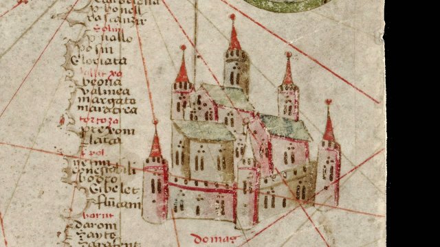
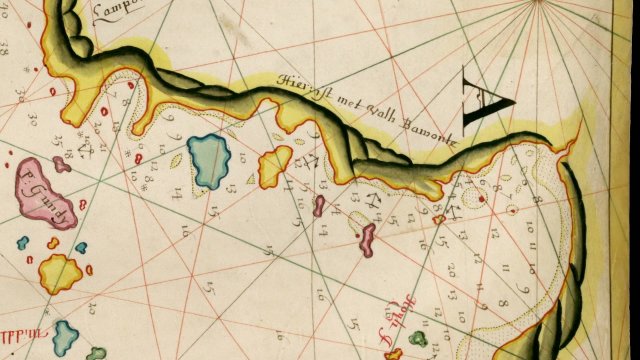
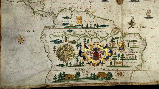
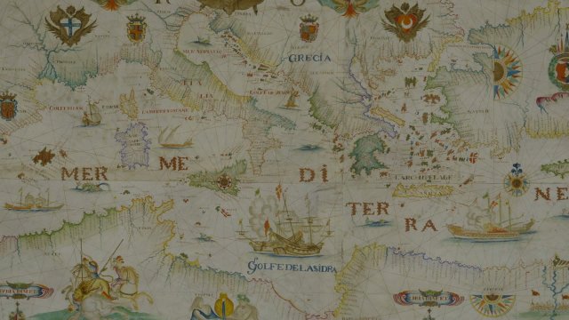
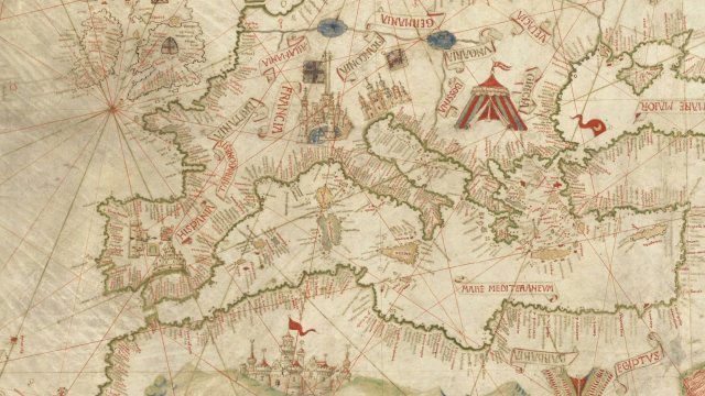
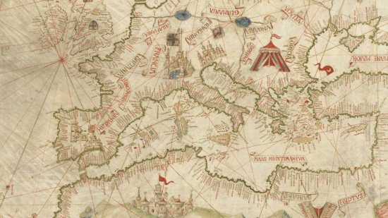
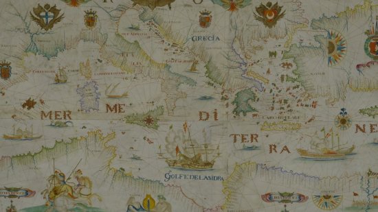
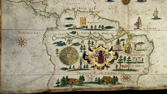
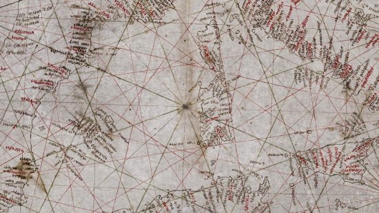
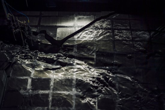
The Catalan Atlas by Abraham Cresques - 14th century
Series title
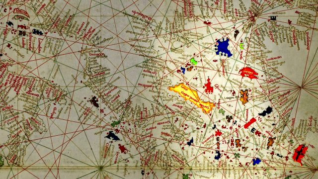
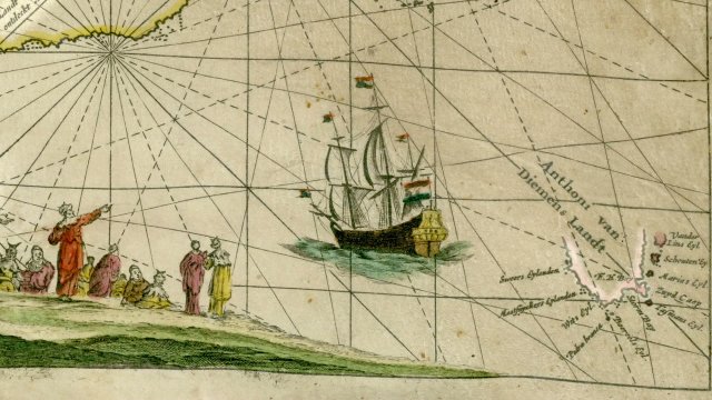
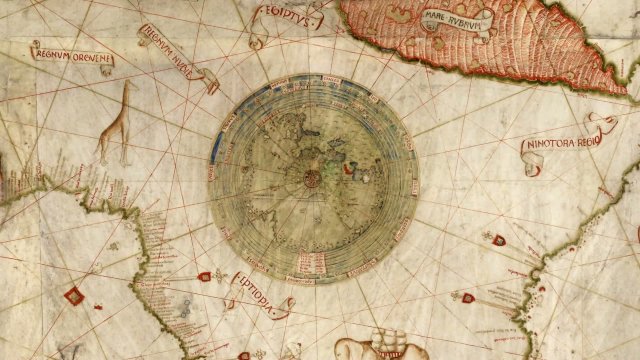
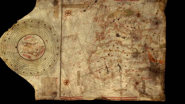
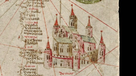
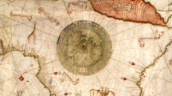
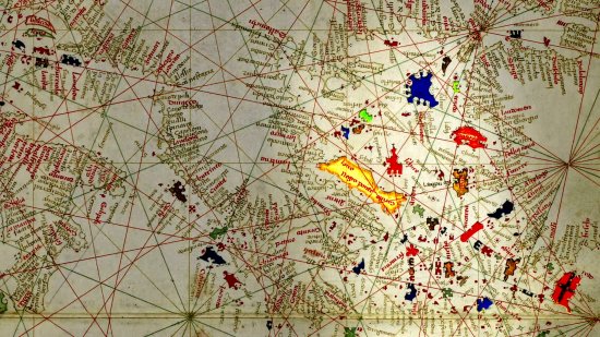
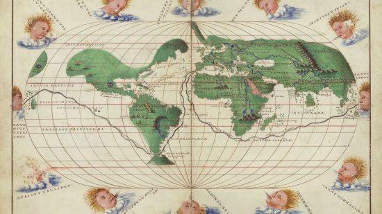
At the Heat of the MapsThe Catalan Atlas is a collection of illuminated charts bound together like a book. Intended for the King of France, it gave him a picture of the entire known world in his time. Geographical, political and economic details are intermingled with ancient legends and the "wonders” of distant Asia on these portolan maps. These are based on medieval tales, like the Books of Marvels of the World based on Marco Polo's travels.
A map kept at the French national library BnF (Bibliothèque nationale de France), Manuscripts Department, Spanish shelf mark number 30.
View this document in the digital Gallica library:
https://gallica.bnf.fr/ark:/12148/btv1b55002481n
Duration
00:04:04
Production year
Définition
HD
Color
Color
Sound
Sound
Version(s)
French
Original material
HD
Add to my selection
Terms of use
The use of media visible on the CNRS Images Platform can be granted on request. Any reproduction or representation is forbidden without prior authorization from CNRS Images (except for resources under Creative Commons license).
No modification of an image may be made without the prior consent of CNRS Images.
No use of an image for advertising purposes or distribution to a third party may be made without the prior agreement of CNRS Images.
For more information, please consult our general conditions