View the series
View the series
Only available for non-commercial distribution
Pas de cession par extrait
© CNRS - 2019
Reference
6737
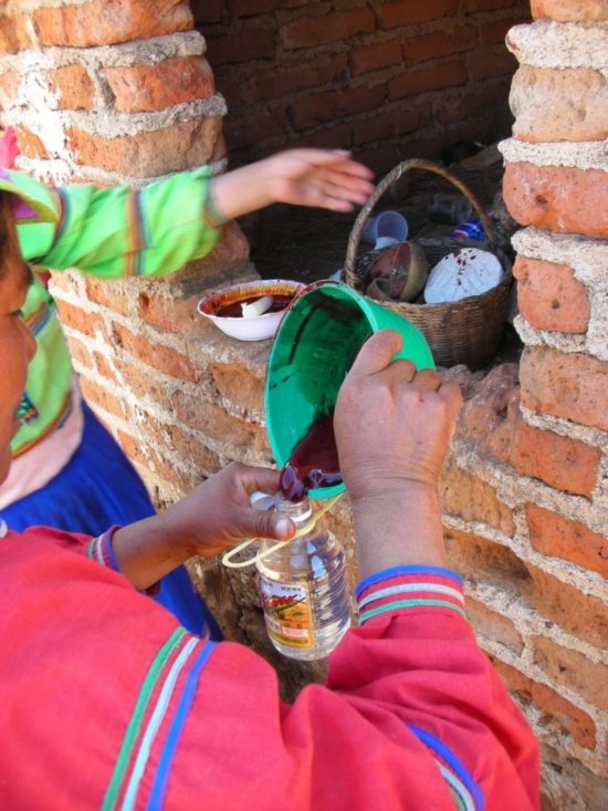
Mayans were country bumpkins ZdS#26
Series title
Zeste de sciencefeaturing "Passé sauvage"
The Youtube channel Zeste de science explores all aspects of scientific research, proving that even the most complicated scientific facts can be explained in less than 5 minutes, and that even the most seemingly trivial events of everyday life, if thoroughly studied, can contribute to the biggest technological advances.
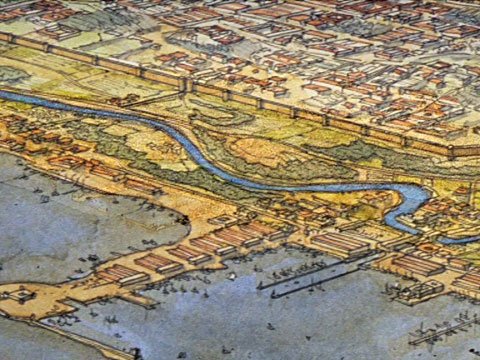
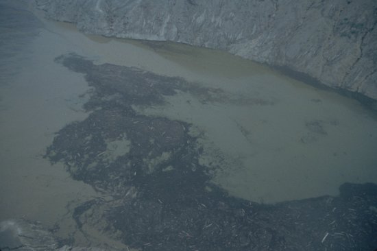
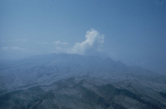
Episode 26: In 2018, an international partnership of scientists began mapping the ground surface in the Mayan area over 2000 square kilometres using light detection and ranging technology (LIDAR). LIDAR is an imaging technology that probes the terrain micro-reliefs using a laser sensor on board an aircraft or a drone.
More specifically, a Franco-Guatemalan team studied the digital terrain models from the Naatchtun site. Researchers thus identified many previously unknown remains, which testify to a high population density throughout the area, as well as intensive agricultural land use and an extensive road network. These discoveries contradict the vision of classical archaeology and thereby offer a new vision of Mayan society.
Duration
00:05:41
Production year
Définition
HD
Color
Color
Sound
Sound
Version(s)
French
Original material
HD
Add to my selection
Terms of use
The use of media visible on the CNRS Images Platform can be granted on request. Any reproduction or representation is forbidden without prior authorization from CNRS Images (except for resources under Creative Commons license).
No modification of an image may be made without the prior consent of CNRS Images.
No use of an image for advertising purposes or distribution to a third party may be made without the prior agreement of CNRS Images.
For more information, please consult our general conditions