View the series
View the series
© CNRS Images - 2013
Reference
4059
3D City (The )
Series title
Urban planning, Housing and SocietyMemory and anticipation
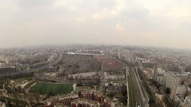
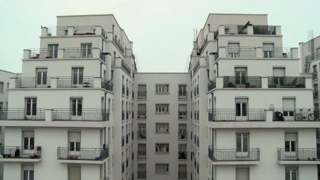
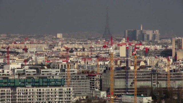
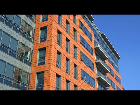
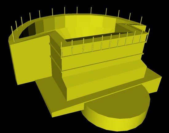
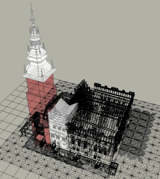
This video shows how for Lyon, or Saint-Ouen, the use of digital technology is now essential in architecture and urban planning. For heritage preservation or for previewing purposes, modelling either existing environments or projects is a valuable decision-making aid.
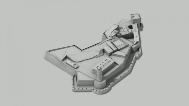
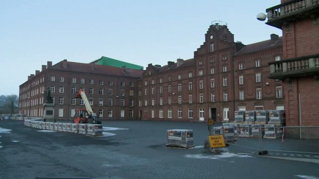
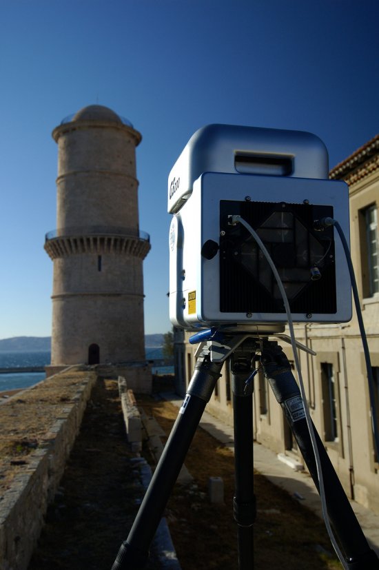
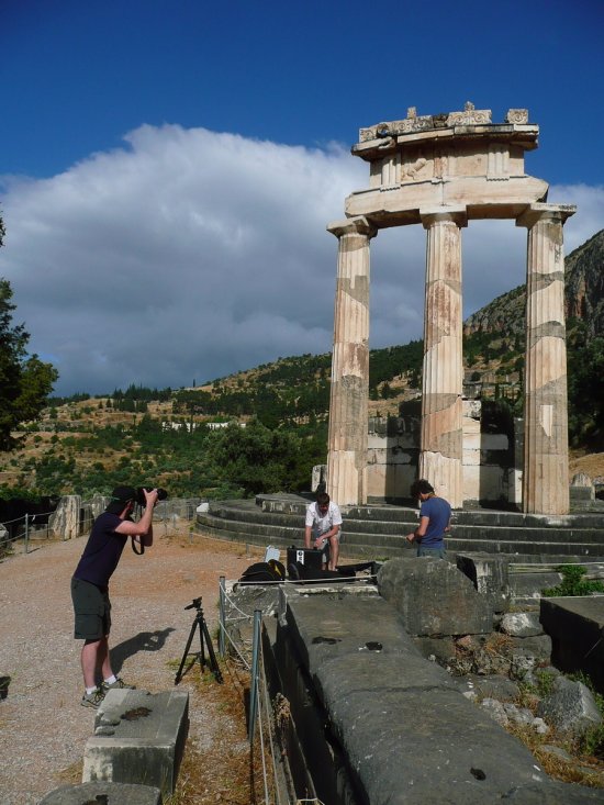
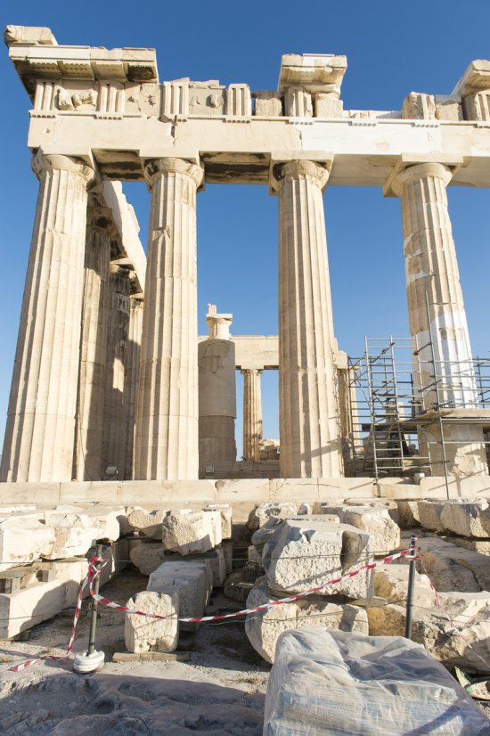
Renato Saleri, urban architect at the MAP, a joint laboratory of the CNRS and the Ministry of Culture and Communication, explores the techniques and tools used in the modelling work on the old Lyon city section for heritage purposes, which make it possible to preserve a digital trace of urban objects. He also elaborates on the new emerging techniques as they were used in modelling the village of Savigny.
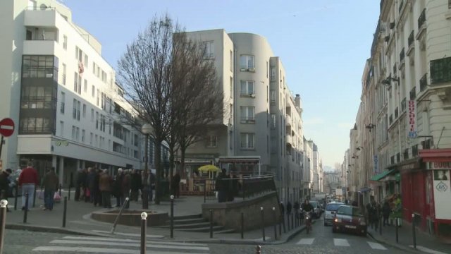
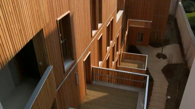
Makan Rafatdjou, urban planner and architect, explains the new possibilities and the versatility opened up by using 3D computer graphics in the renovation of the docks area in Saint-Ouen, which simplifies the design of the future buildings and planning their insertion into the landscape.
Duration
00:07:00
Production year
Définition
HD
Color
Color
Sound
Sound
Version(s)
French
International version
Add to my selection
Terms of use
The use of media visible on the CNRS Images Platform can be granted on request. Any reproduction or representation is forbidden without prior authorization from CNRS Images (except for resources under Creative Commons license).
No modification of an image may be made without the prior consent of CNRS Images.
No use of an image for advertising purposes or distribution to a third party may be made without the prior agreement of CNRS Images.
For more information, please consult our general conditions