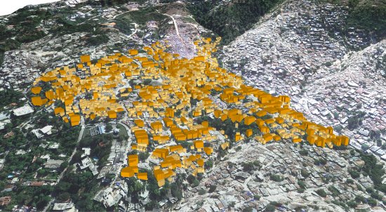
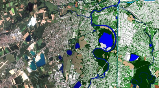
© SERTIT/Copernicus/2016 European Union/CNRS Images
Reference
20170032_0003
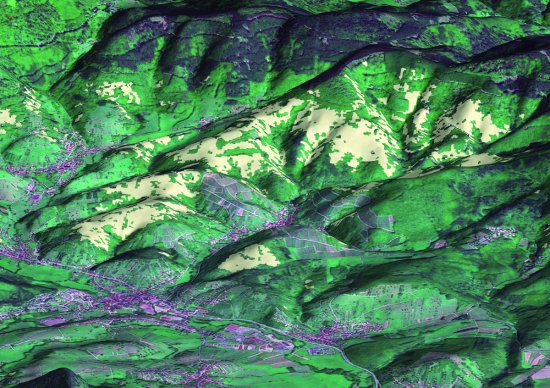
Carte d'extension des incendies sur l'île de Thasos, en Grèce
Map of the extent of fires on the island of Thasos, Greece. This image was produced by SERTIT (Regional Agency for Image Processing and Remote Sensing), an ICube laboratory platform. In the event of disasters, it provides within a short time the geodata derived from space imaging to risk and crisis management stakeholders. A leading national operator, SERTIT is a major player in emergency mapping for civil security agencies, the European Commission, and international organisations and is opening its activity to the insurance market.
Add to my selection
Terms of use
The use of media visible on the CNRS Images Platform can be granted on request. Any reproduction or representation is forbidden without prior authorization from CNRS Images (except for resources under Creative Commons license).
No modification of an image may be made without the prior consent of CNRS Images.
No use of an image for advertising purposes or distribution to a third party may be made without the prior agreement of CNRS Images.
For more information, please consult our general conditions