Production year
2013

© SERTIT/Pléiades/CNES 2012/Distribution Airbus DS/CNRS Images
20170032_0004
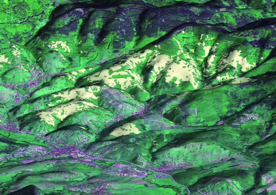
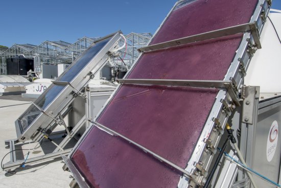
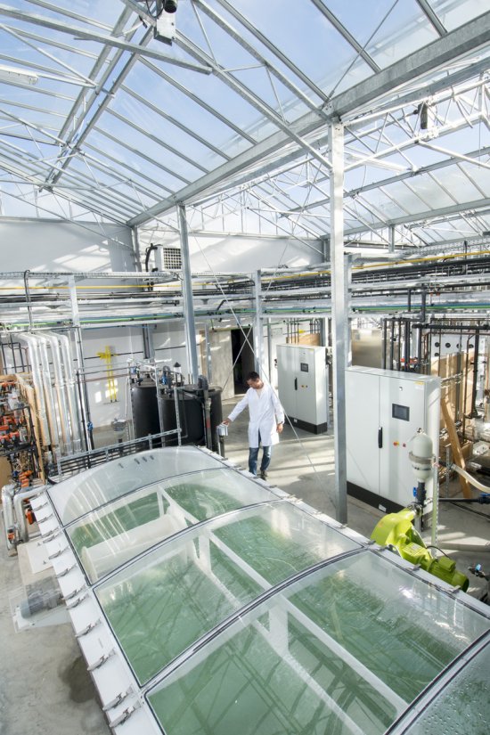
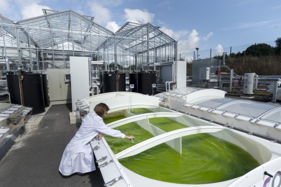
Mapping of the green belt in urban areas, in the Lille-Kortrijk-Tournai Eurometropolis. This image was produced by SERTIT (Regional Agency for Image Processing and Remote Sensing), an ICube laboratory platform. It uses space imagery to assist in environmental management by surveillance and monitoring of forests, species recognition or mapping of vegetation in urban areas for example. Remote sensing is a means of holistic, detailed, homogeneous and rapid evaluation of the green belt and provides assistance to managers and decision makers in respect of these natural areas. The analysis provided thus benefits all stakeholders in the timber sector through improved characterisation and exploitation of the resource.
The use of media visible on the CNRS Images Platform can be granted on request. Any reproduction or representation is forbidden without prior authorization from CNRS Images (except for resources under Creative Commons license).
No modification of an image may be made without the prior consent of CNRS Images.
No use of an image for advertising purposes or distribution to a third party may be made without the prior agreement of CNRS Images.
For more information, please consult our general conditions
2013
Our work is guided by the way scientists question the world around them and we translate their research into images to help people to understand the world better and to awaken their curiosity and wonderment.