Production year
2013

© SERTIT/CNRS Images
20170032_0001
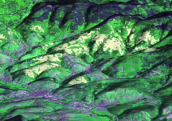
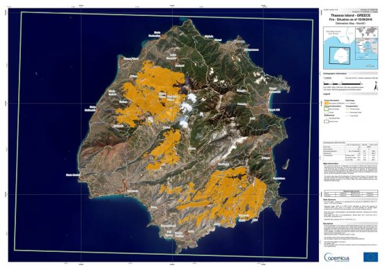
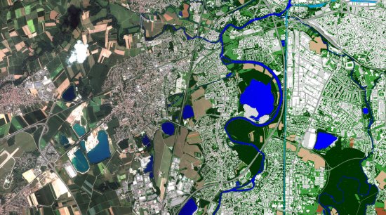
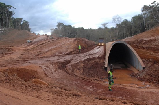
Estimate of the number of storeys in buildings in the Baillergeau and Campeche districts in Haiti. The buildings are derived from a Google aerial image. The number of storeys is estimated using LIDAR (World Bank - ImageCat) data acquired on 21 January 2010. This image was produced by SERTIT (Regional Agency for Image Processing and Remote Sensing), an ICube laboratory platform. Geospatial information derived from satellite imagery is used in the fields of risk prevention and post-disaster monitoring. In the context of development aid, SERTIT operates in support of territorial planning, NGOs or national and international institutions to acquire satellite data throughout the crisis management phase, providing advice, expertise and training.
The use of media visible on the CNRS Images Platform can be granted on request. Any reproduction or representation is forbidden without prior authorization from CNRS Images (except for resources under Creative Commons license).
No modification of an image may be made without the prior consent of CNRS Images.
No use of an image for advertising purposes or distribution to a third party may be made without the prior agreement of CNRS Images.
For more information, please consult our general conditions
2013
Our work is guided by the way scientists question the world around them and we translate their research into images to help people to understand the world better and to awaken their curiosity and wonderment.