Only available for non-commercial distribution
© CNRS - 2014
Reference
4432
10 years after the tsunami, a researcher recounts
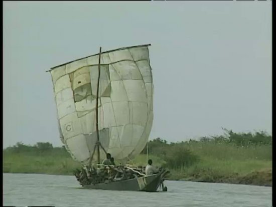
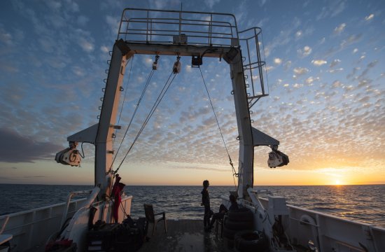
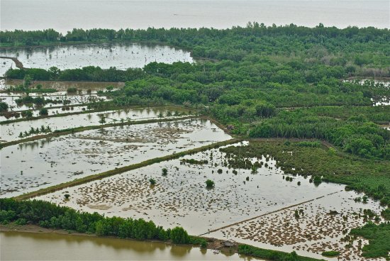
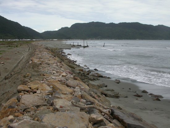
Ten years after the terrible tsunami that devastated Indonesia, Sri Lanka, southern India and western Thailand, Franck Lavigne, a researcher at the Physical Geography Laboratory, looks back on his experience with the Tsunarisque scientific mission that began in January 2005. Using images from the film "Tsunarisque, appréhender une catastrophe" (Tsunarisk: scaling the disaster) made in 2007, the geographer tells the challenges of this expedition.
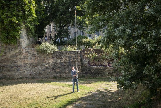
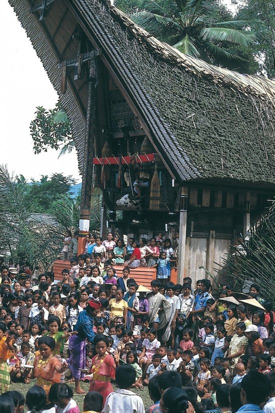
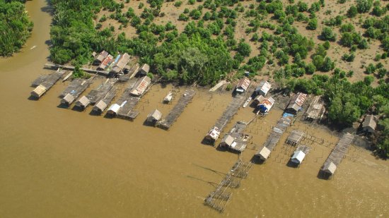
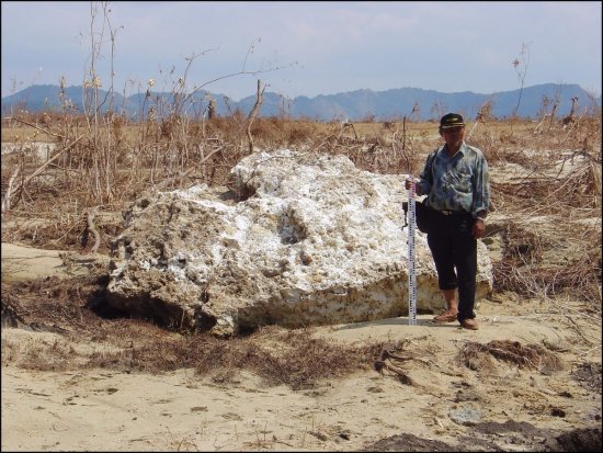
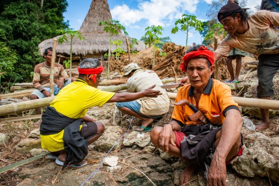
For nearly two years, a team of Franco-Indonesian researchers based in Banda Aceh, Indonesia, took turns in the field to try to reconstruct the course of the disaster from the accounts of survivors as well as data collected locally. Based on that, the objective is to reconstruct and model the tsunami for risk prevention purposes. Today, researchers can rely on the numerous amateur images filmed on the different sites, which allows them to evaluate more realistically the height of waves or their propagation speed. This new type of document was still rare at the time of the 2004 disaster and led to a better understanding of the phenomenon and many advances in anticipating the various problems that could arise during evacuations.
Duration
00:11:00
Production year
Définition
HD
Color
Color
Sound
Sound
Version(s)
French
Add to my selection
Terms of use
The use of media visible on the CNRS Images Platform can be granted on request. Any reproduction or representation is forbidden without prior authorization from CNRS Images (except for resources under Creative Commons license).
No modification of an image may be made without the prior consent of CNRS Images.
No use of an image for advertising purposes or distribution to a third party may be made without the prior agreement of CNRS Images.
For more information, please consult our general conditions