Production year
2014

© Elise KALI/IPGS/CNRS Images
20150001_1321
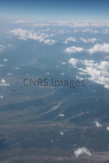
Vue vers le nord-ouest des rivières de l'est du Népal, prenant leur source dans l'Himalaya, pendant un vol Delhi-Dibrugarh, le long de la chaîne de l'Himalaya, par temps clair. Le chevauchement frontal himalayen traverse les rivières perpendiculairement et marque le premier saut topographique au dessus du Teraï, la partie népalaise de la plaine gangétique. Tout en bas, la rivière Méchi marque la frontière est du Népal avec l'Inde. Cette photo a été réalisée dans le cadre d'une étude du chevauchement frontal himalayen et des grands séismes himalayens au Népal et en Inde.
The use of media visible on the CNRS Images Platform can be granted on request. Any reproduction or representation is forbidden without prior authorization from CNRS Images (except for resources under Creative Commons license).
No modification of an image may be made without the prior consent of CNRS Images.
No use of an image for advertising purposes or distribution to a third party may be made without the prior agreement of CNRS Images.
For more information, please consult our general conditions
2014
Our work is guided by the way scientists question the world around them and we translate their research into images to help people to understand the world better and to awaken their curiosity and wonderment.