© Jérôme FOURNIER/CNRS Images
Reference
20130001_0424
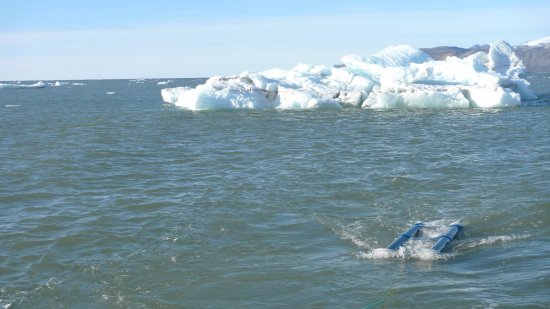
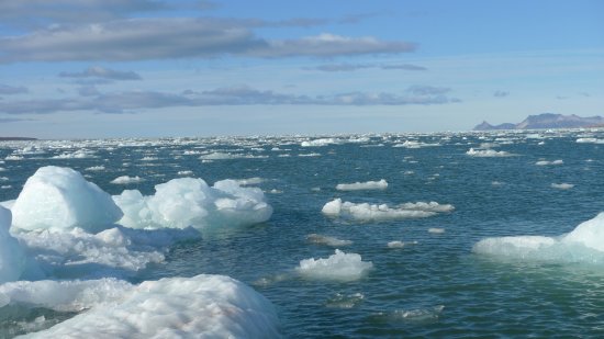
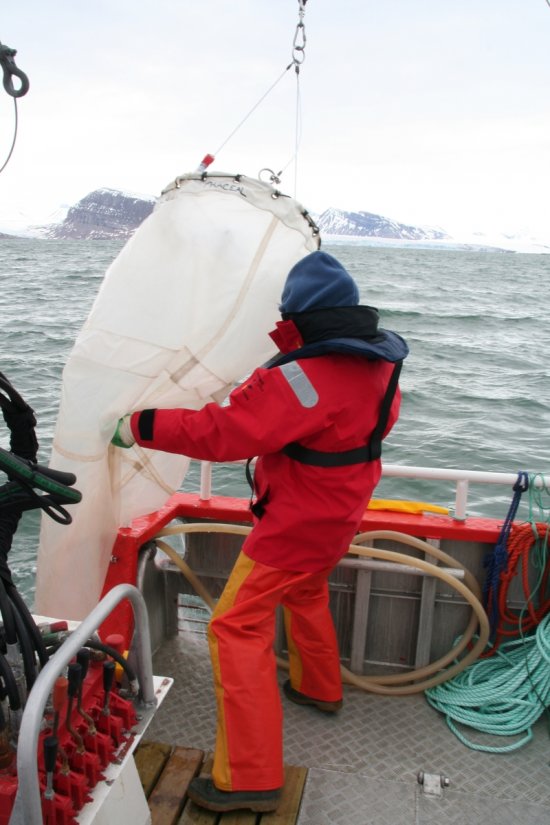
Sonar acoustique utilisé pour cartographier les fonds du Kongsfjorden, en Norvège
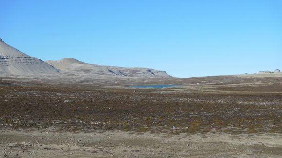
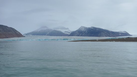
Sonar acoustique utilisé pour cartographier les fonds du Kongsfjorden, dans le grau du Spitzberg occidental, au Svalbard, en Norvège. Cette cartographie, s'inscrivant dans le cadre du programme SEISPITZ, permet de détecter les flux sédimentaires qui s'intensifient suite à la fonte des glaciers côtiers.
Add to my selection
Terms of use
The use of media visible on the CNRS Images Platform can be granted on request. Any reproduction or representation is forbidden without prior authorization from CNRS Images (except for resources under Creative Commons license).
No modification of an image may be made without the prior consent of CNRS Images.
No use of an image for advertising purposes or distribution to a third party may be made without the prior agreement of CNRS Images.
For more information, please consult our general conditions