© Eric CALAIS/CNRS Images
Reference
20010001_1026
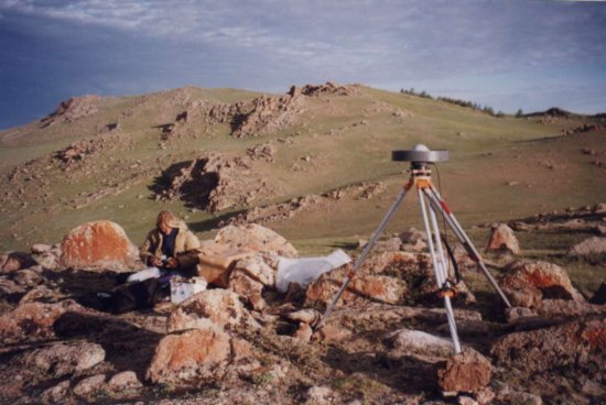
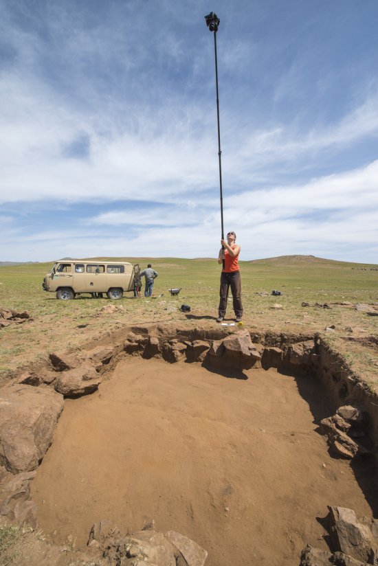
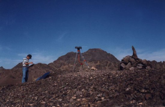
Vue d'un trépied et d'une antenne reliée à un récepteur GPS (Global Positioning System), système de
Vue d'un trépied et d'une antenne reliée à un récepteur GPS (Global Positioning System), système de géodésie spatiale permettant le positionnement en 3 dimensions (latitude, longitude, altitude) à grande précision (infra-millimétrique). GPS (Mongolie). L'autonomie en énergie est possible grâce aux panneaux solaires.
Add to my selection
Terms of use
The use of media visible on the CNRS Images Platform can be granted on request. Any reproduction or representation is forbidden without prior authorization from CNRS Images (except for resources under Creative Commons license).
No modification of an image may be made without the prior consent of CNRS Images.
No use of an image for advertising purposes or distribution to a third party may be made without the prior agreement of CNRS Images.
For more information, please consult our general conditions