© SERTIT/CNRS Images
Reference
20170032_0005
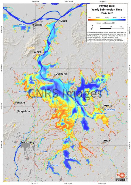
Cartographie des temps de submersion annuels du lac Poyang, en Chine, de 2000 à 2010
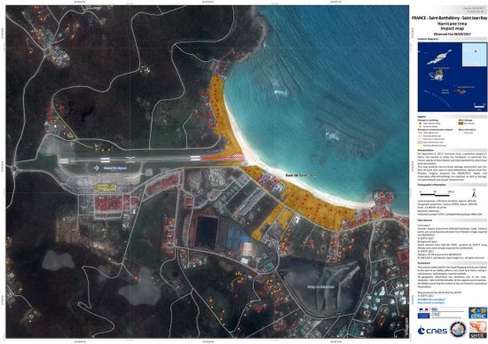
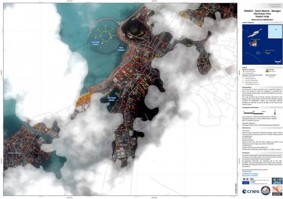
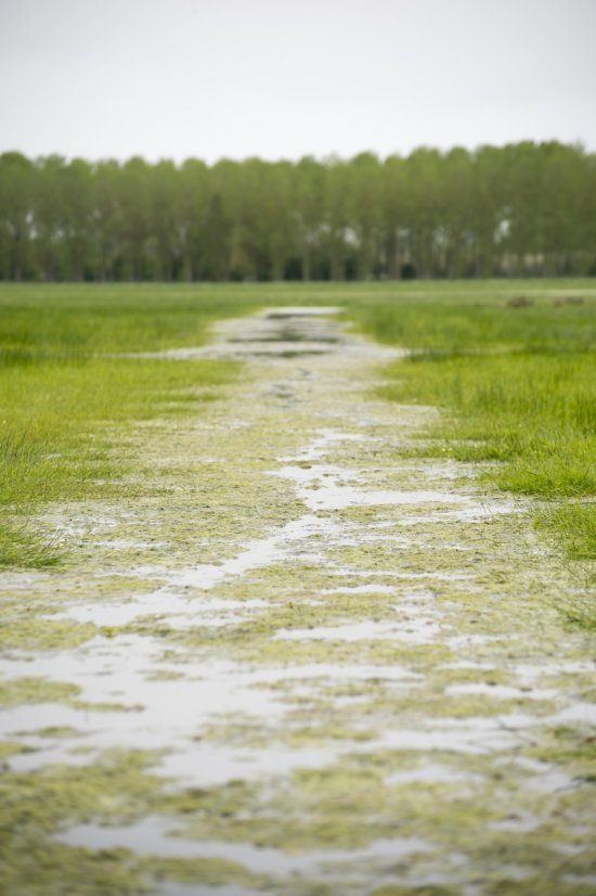
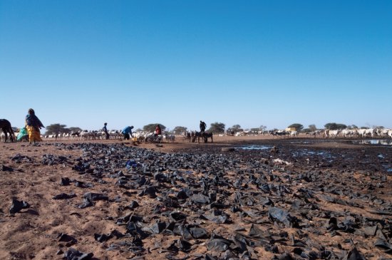
Mapping of annual submersion times of Lake Poyang in China, from 2000 to 2010. This image was produced by SERTIT (Regional Agency for Image Processing and Remote Sensing), an ICube laboratory platform. It uses space imagery to monitor the space-time evolution of submerged surfaces and thus better understand their operation and adapt management policies in respect of these sensitive ecosystems. Furthermore, the fluctuation of the water level influences the conditions conducive to the presence and growth of parasitic disease vectors.
The use of media visible on the CNRS Images Platform can be granted on request. Any reproduction or representation is forbidden without prior authorization from CNRS Images (except for resources under Creative Commons license).
No modification of an image may be made without the prior consent of CNRS Images.
No use of an image for advertising purposes or distribution to a third party may be made without the prior agreement of CNRS Images.
For more information, please consult our general conditions
