Production year
2017

© SERTIT/CNRS Images
20170113_0001
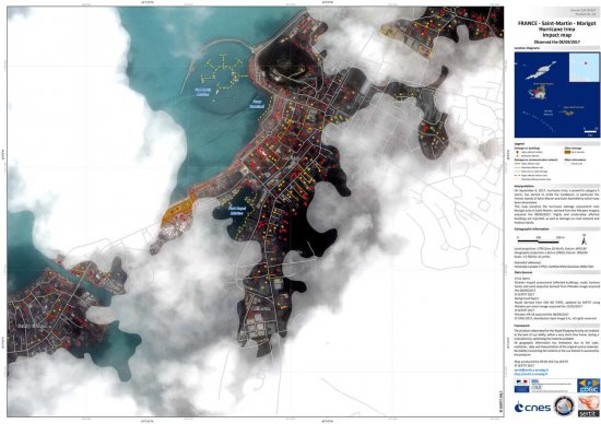
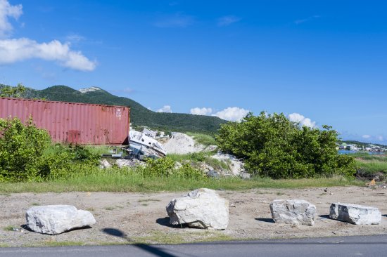
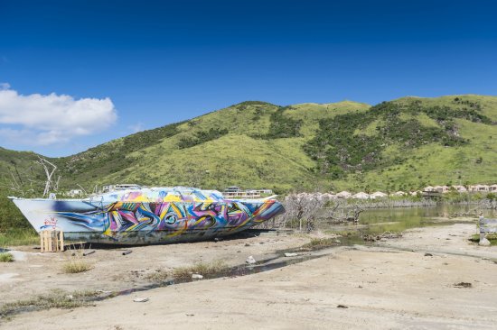
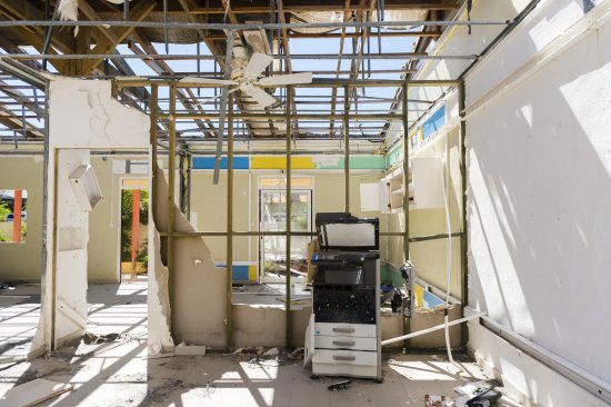
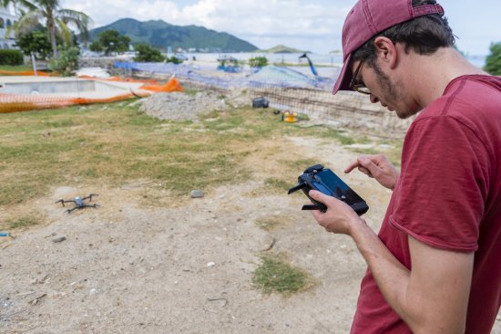
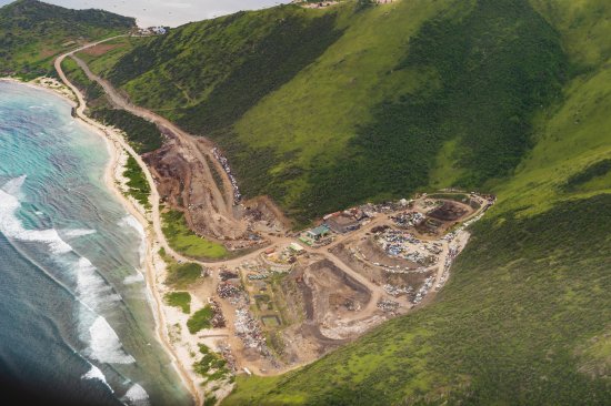
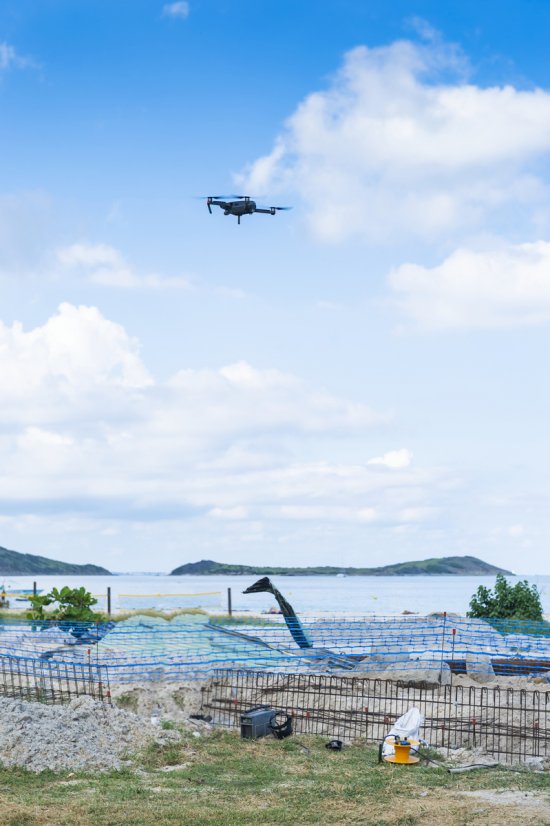
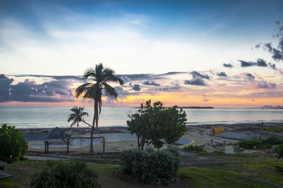
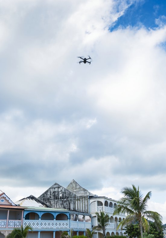
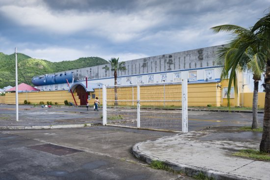
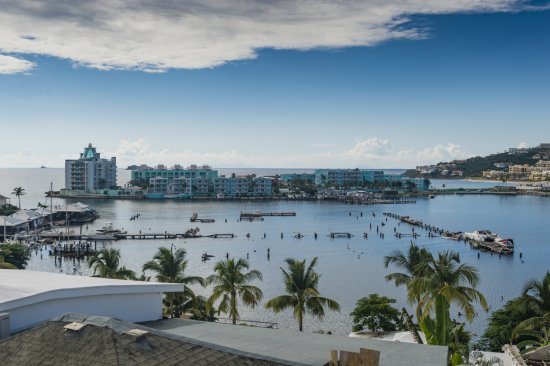
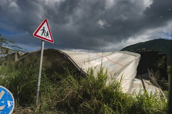
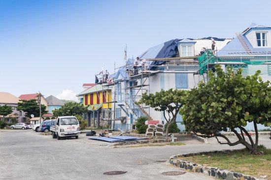
Damage assessment map following the passage of Hurricane Irma in the St. Jean Bay area, on Saint-Barthélémy in the French Caribbean; the map is based on Pléiades imagery acquired on 8 September 2017. Moderately and severely damaged buildings are shown as orange and red dots, and the map also shows damage to the road network and airport infrastructure. On 6 September 2017, Hurricane Irma, a powerful Category 5 storm, began to roll through the Caribbean, causing devastation on the French islands of Saint-Martin and Saint-Barthélémy in particular. This image was produced by the ICube laboratory's regional image processing and remote detection unit, SERTIT. Operating in near real-time, SERTIT provides satellite imagery-derived geoinformation to risk management and disaster response management stakeholders. SERTIT is a national pioneer and a major provider of emergency mapping services for civil defence agencies, the European Commission and other international organisations. SERTIT is also rolling out its activity to the insurance sector.
The use of media visible on the CNRS Images Platform can be granted on request. Any reproduction or representation is forbidden without prior authorization from CNRS Images (except for resources under Creative Commons license).
No modification of an image may be made without the prior consent of CNRS Images.
No use of an image for advertising purposes or distribution to a third party may be made without the prior agreement of CNRS Images.
For more information, please consult our general conditions
2017
Our work is guided by the way scientists question the world around them and we translate their research into images to help people to understand the world better and to awaken their curiosity and wonderment.