Only available for non-commercial distribution
© CNRS - 2022
Reference
7426
ZheoPS-RTK
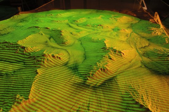
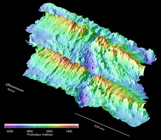
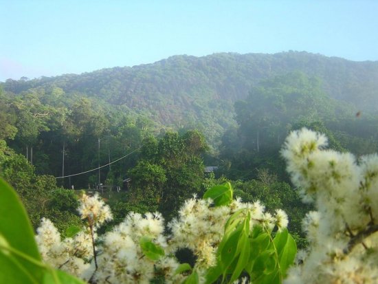
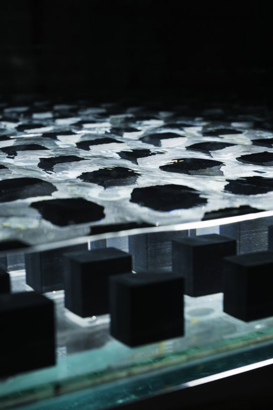
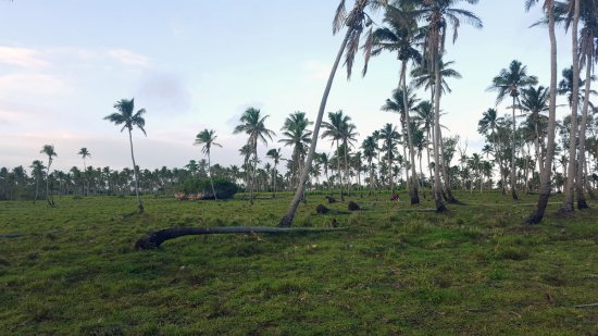
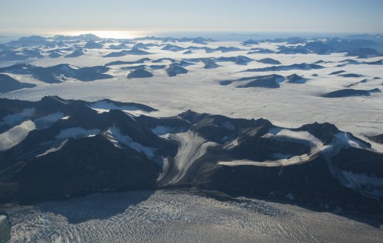
ZheoPS-RTK (Z Positioning System – Real Time Kinematic) est un système de mesure topographique (uniquement Z) utilisable en terrain couvert (milieu urbain, forestier et souterrain). Il prend en compte l'effet des variations météorologiques pour apporter une précision décimétrique à l'altitude du point mesuré. Cette mesure peut être synchronisée avec celle d'un instrument de prospection géophysique et une acquisition autonome pourra être aussi réalisée via une application pour smartphone/tablette.
Duration
00:02:05
Production year
Définition
HD
Color
Color
Sound
Sound
Version(s)
French
Original material
MPEG4
Add to my selection
Terms of use
The use of media visible on the CNRS Images Platform can be granted on request. Any reproduction or representation is forbidden without prior authorization from CNRS Images (except for resources under Creative Commons license).
No modification of an image may be made without the prior consent of CNRS Images.
No use of an image for advertising purposes or distribution to a third party may be made without the prior agreement of CNRS Images.
For more information, please consult our general conditions