Research program(s)
Production year
2017

© Fabrice MONNA/UPMC/METIS/ArScAn/MEAE/ARTeHIS/Maison d'Archéologie et d'Ethnologie/CNRS Images
20170112_0004
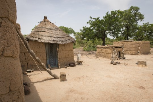
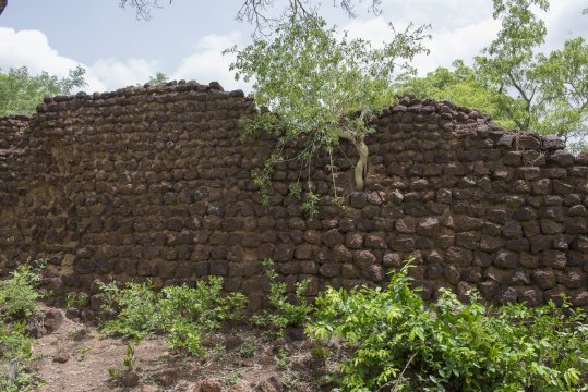
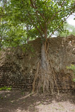
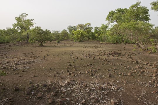
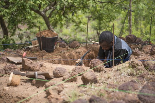
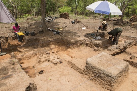
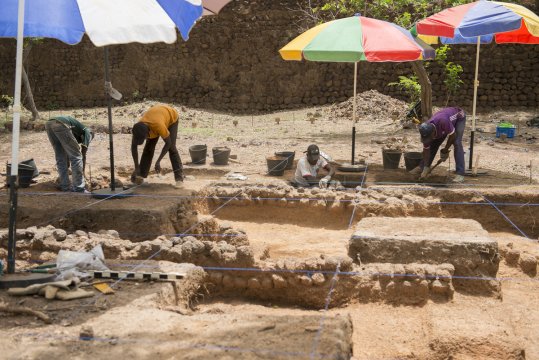
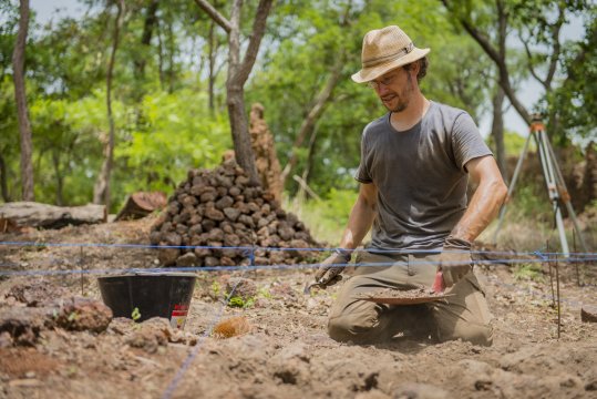
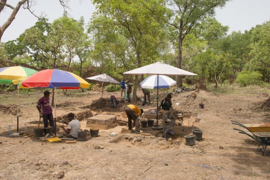
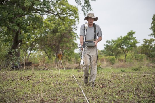
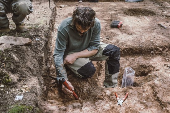
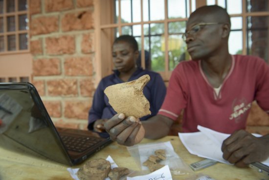
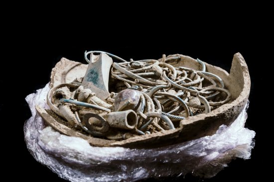
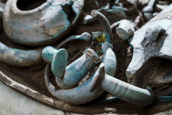
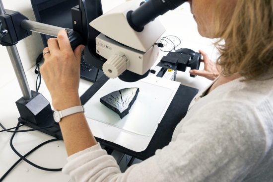
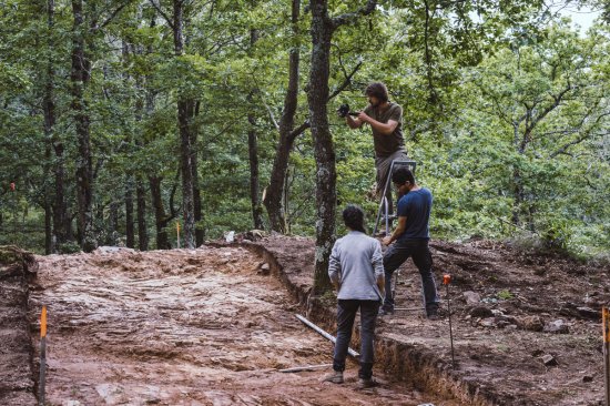
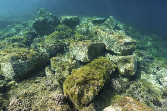
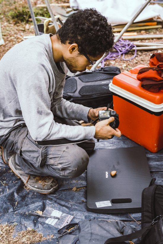
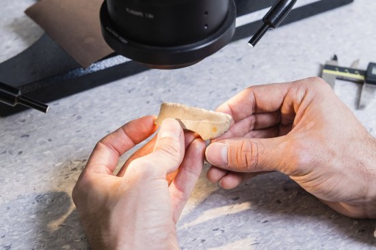
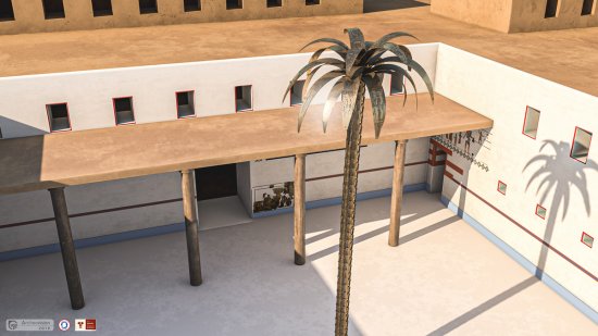
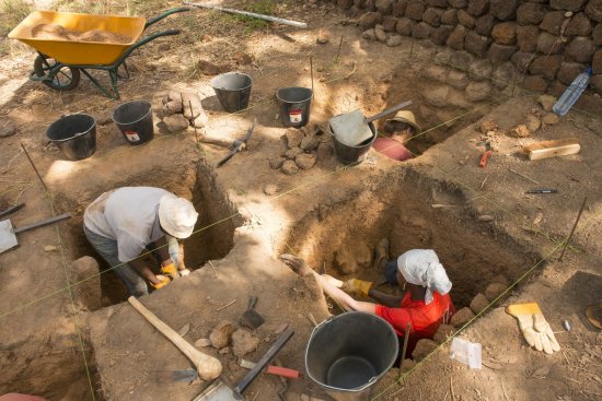
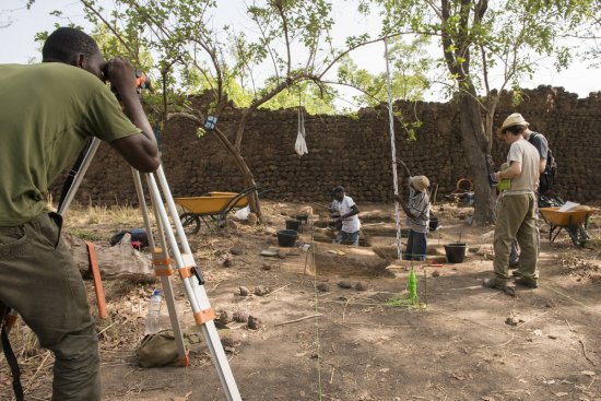
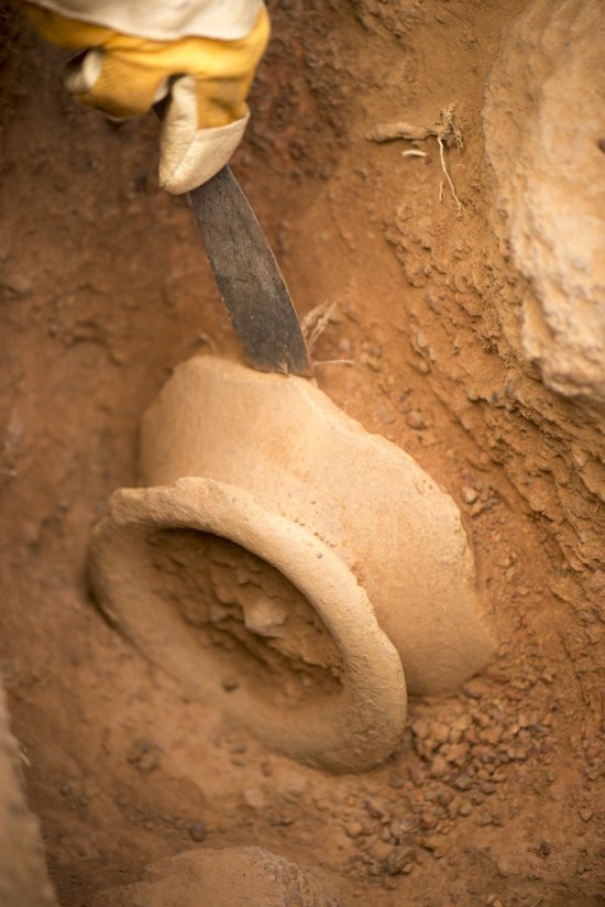
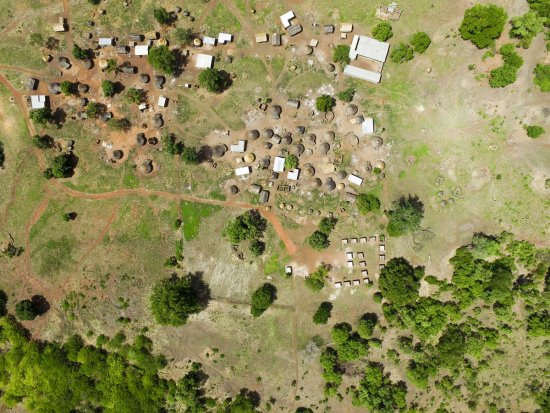
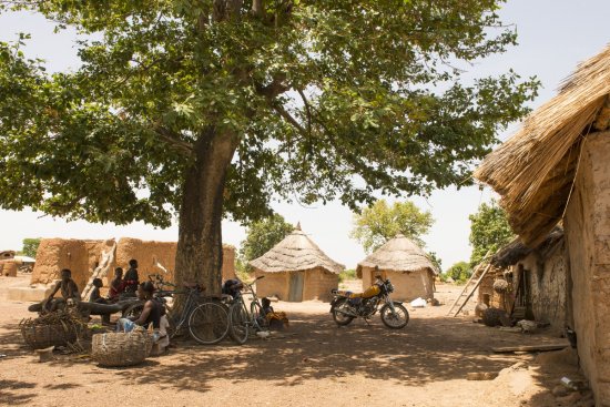
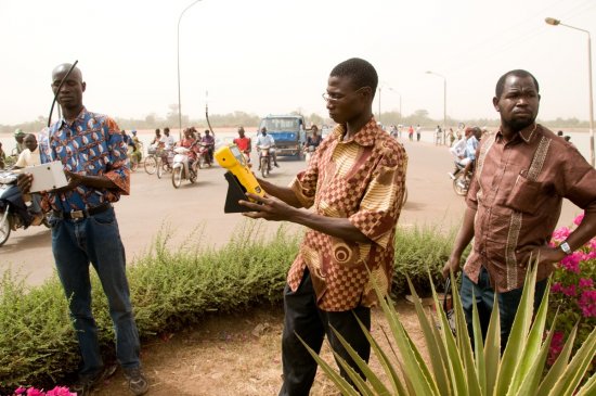
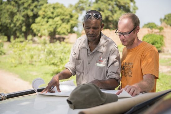
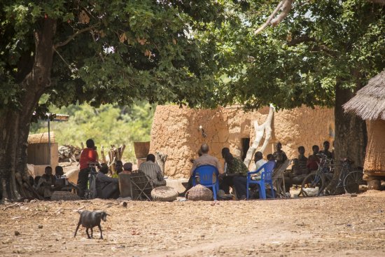
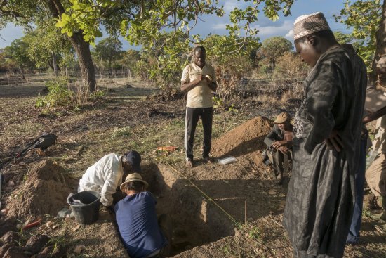
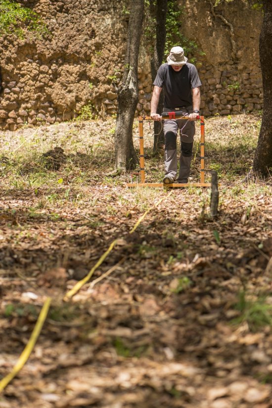
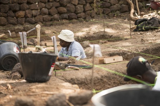
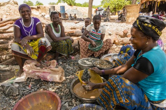
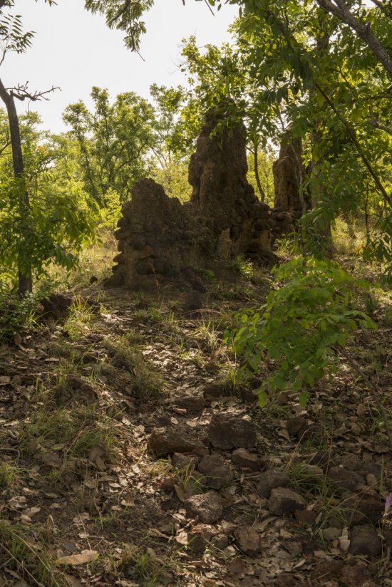
Southwest corner of the ruined fortress in Loropéni, Burkina Faso. This archaeological site, surrounded by tall stone walls, covers an area of almost 10,000 sq. m. The earliest inhabited levels are believed to date from a period extending from the 11th to 15th centuries. Although the purpose of the ruins is still not fully understood, they may relate to the region's gold mines, which have been worked since 1000 AD. This research, being conducted as part of the Lobi-Or-Fort project, will provide insights as a result of a multi-disciplinary approach combining archaeology, geophysics, anthropology, geochemistry and 3D modelling.
The use of media visible on the CNRS Images Platform can be granted on request. Any reproduction or representation is forbidden without prior authorization from CNRS Images (except for resources under Creative Commons license).
No modification of an image may be made without the prior consent of CNRS Images.
No use of an image for advertising purposes or distribution to a third party may be made without the prior agreement of CNRS Images.
For more information, please consult our general conditions
2017
Our work is guided by the way scientists question the world around them and we translate their research into images to help people to understand the world better and to awaken their curiosity and wonderment.