Production year
2017

© Sébastien CHASTANET / CNES / OMP / IRAP / UT3 / CNRS Images
20170104_0095
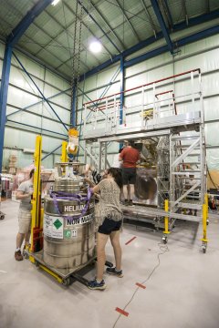
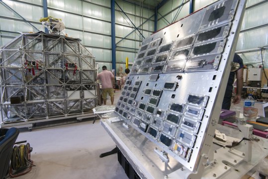
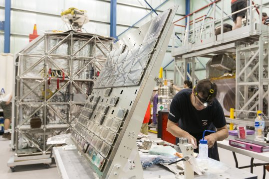
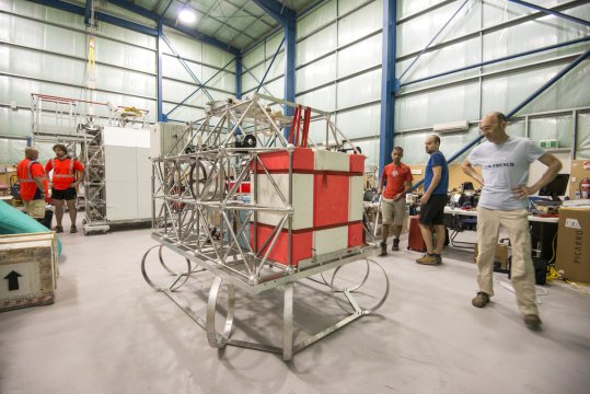
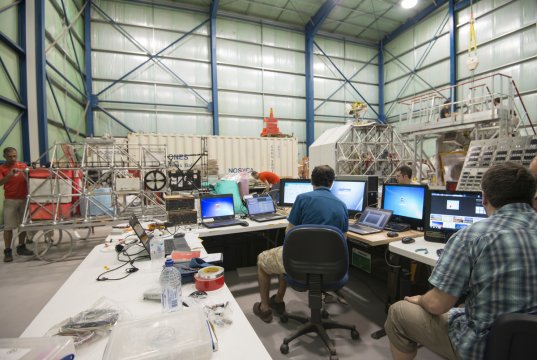
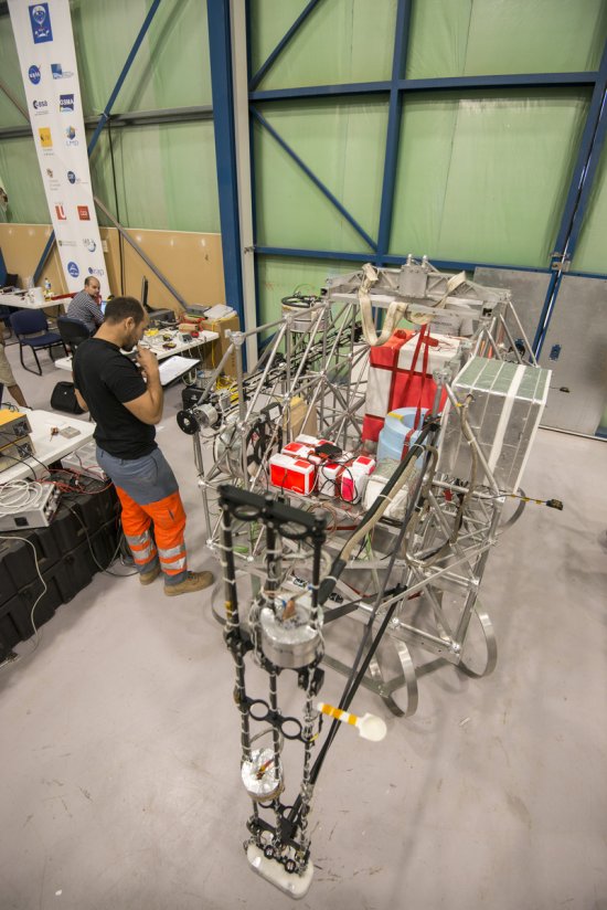
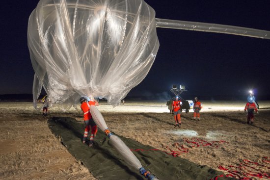
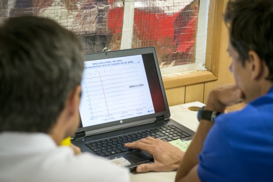
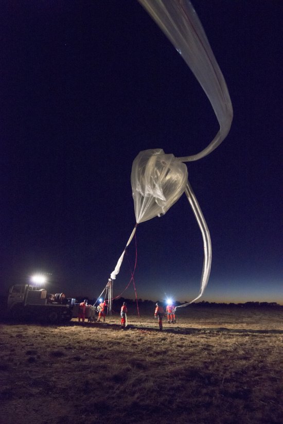
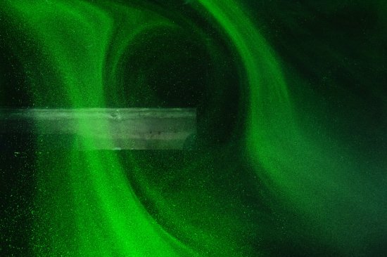
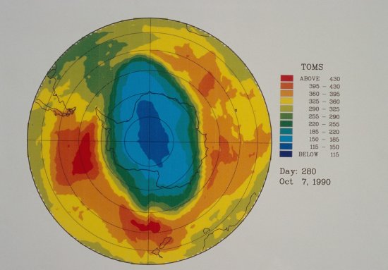
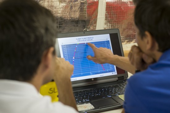
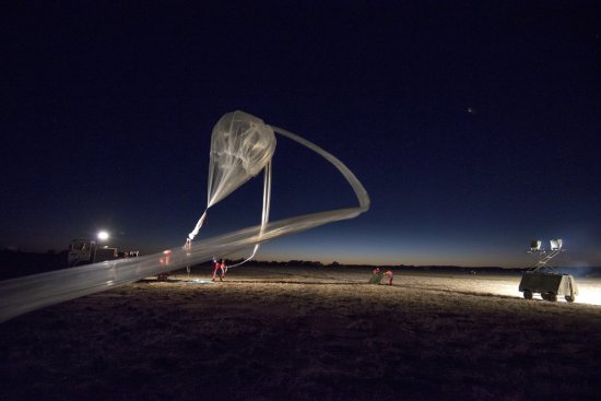
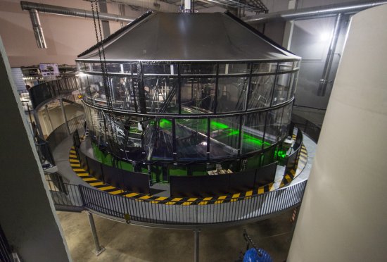
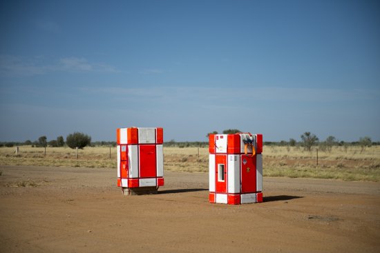
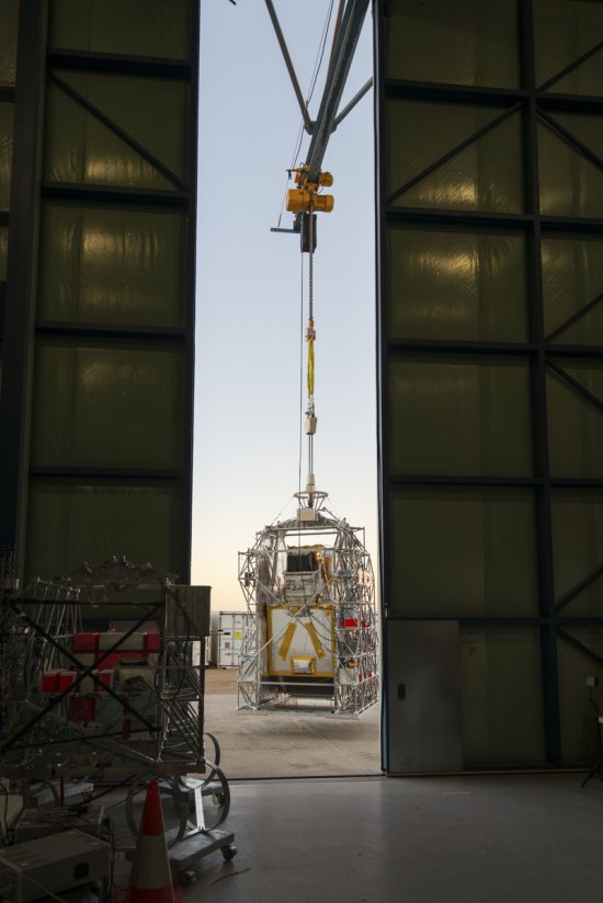
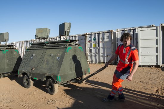
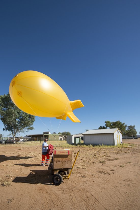
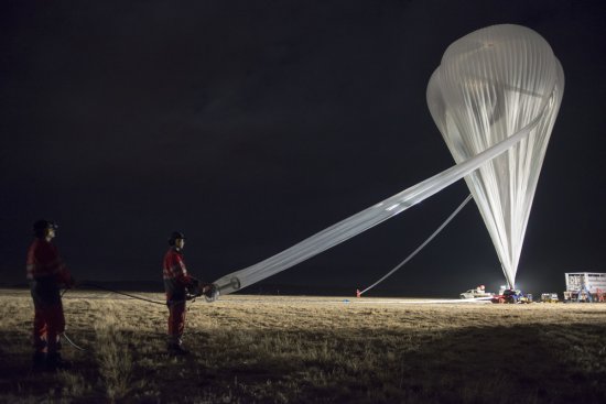
A tethered balloon is used to identify the wind direction in preparation for the CLIMAT flight at the Alice Springs balloon launch base in Australia. To maximise the flight altitude and duration, balloon launches for the various missions must be planned to coincide with stratospheric wind inversions. The research team therefore consulted data from satellites, radiosonde balloons and tethered balloons, as shown here, in search of the ideal meteorological conditions. The CLIMAT mission ( Combination of Lasers and Instruments for in situ Measurement of the Atmosphere of Earth) concerns a group of experiments by French and European laboratories aimed at furthering research into atmospheric physics and chemistry. CLIMAT is a 240kg gondola, carried under a 150,000 cu. m balloon to a ceiling altitude of 33 km. For example, its 2015 flight enabled scientists to identify a 10% increase in methane in columns between 0 km and 15 km between 2000 and 2015; this important finding was subsequently reported at the COP21 climate conference.
The use of media visible on the CNRS Images Platform can be granted on request. Any reproduction or representation is forbidden without prior authorization from CNRS Images (except for resources under Creative Commons license).
No modification of an image may be made without the prior consent of CNRS Images.
No use of an image for advertising purposes or distribution to a third party may be made without the prior agreement of CNRS Images.
For more information, please consult our general conditions
2017
Our work is guided by the way scientists question the world around them and we translate their research into images to help people to understand the world better and to awaken their curiosity and wonderment.