Research program(s)
Production year
2016

© Jean-François BUONCRISTIANI/Biogéosciences/CNRS Images
20160105_0012
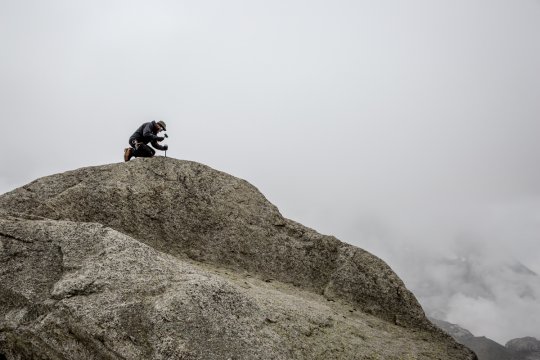
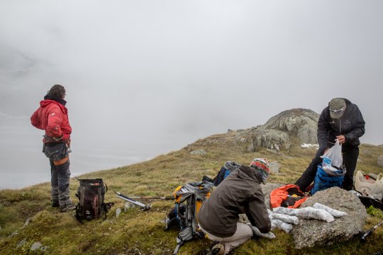
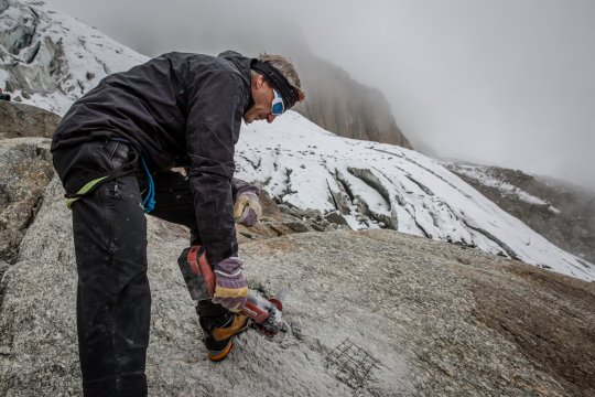
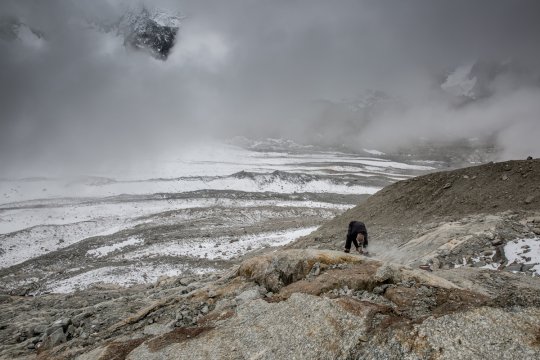
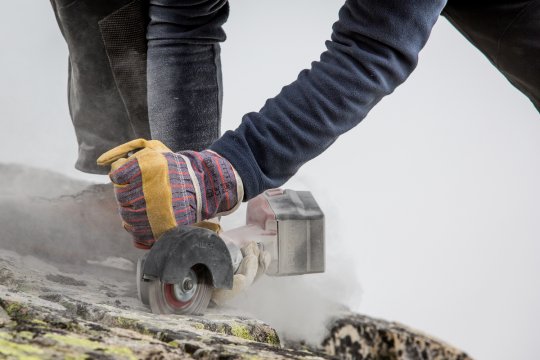
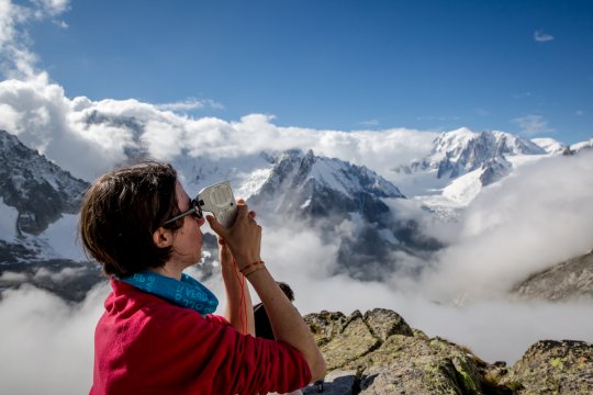
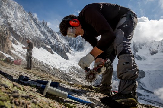
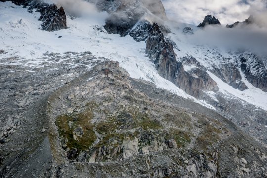
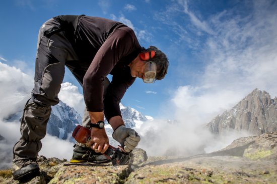
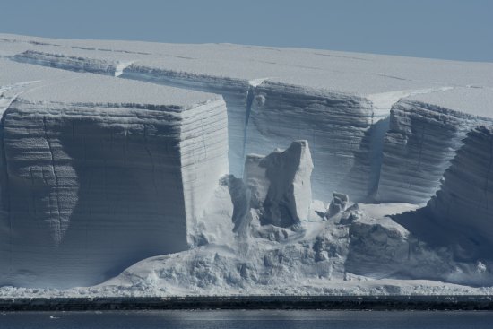
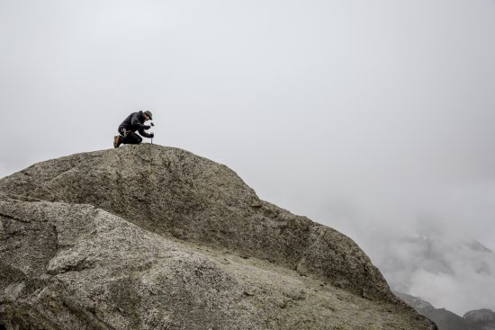
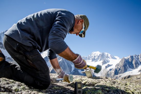
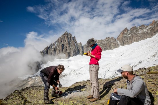
Scientists use a high resolution GPS to locate the coordinates of a sampling site in the Mont-Blanc massif in France, in September 2016. The aim of taking samples from surfaces polished by glaciers in the Mont-Blanc massif was to determine how their positions had changed since the end of the last great glaciation, approximately 10,000 years ago. The purpose was to ascertain whether these glaciers had ever been smaller than they are at present, when they are in sharp decline due to global warming. The mission was part of the Mont-Blanc VIP project monitoring the speed of processes controlling morphological and environmental changes in the Mont-Blanc massif.
The use of media visible on the CNRS Images Platform can be granted on request. Any reproduction or representation is forbidden without prior authorization from CNRS Images (except for resources under Creative Commons license).
No modification of an image may be made without the prior consent of CNRS Images.
No use of an image for advertising purposes or distribution to a third party may be made without the prior agreement of CNRS Images.
For more information, please consult our general conditions
2016
Our work is guided by the way scientists question the world around them and we translate their research into images to help people to understand the world better and to awaken their curiosity and wonderment.