Production year
2012

© Cyril FRESILLON/CNRS Images
20120001_0647
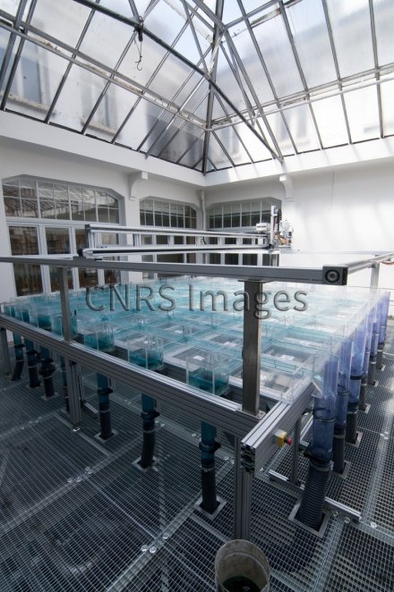
Vue d'ensemble du pilote inondation de l'IMFS (Institut de mécanique des fluides et des solides). Ce pilote représente un quartier urbain virtuel et doit permettre d'étudier la répartition des débits entre les différents axes urbains lors d'une crue exceptionnelle. Il mesure 5 m x 5 m et inclut 14 rues, pouvant être alimentées de manière indépendante, afin de tester le plus grand nombre de configurations possibles.
The use of media visible on the CNRS Images Platform can be granted on request. Any reproduction or representation is forbidden without prior authorization from CNRS Images (except for resources under Creative Commons license).
No modification of an image may be made without the prior consent of CNRS Images.
No use of an image for advertising purposes or distribution to a third party may be made without the prior agreement of CNRS Images.
For more information, please consult our general conditions
2012
Our work is guided by the way scientists question the world around them and we translate their research into images to help people to understand the world better and to awaken their curiosity and wonderment.