© Denis MORIN/CNRS Images
Reference
20070001_0689
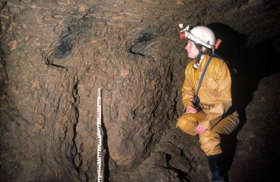
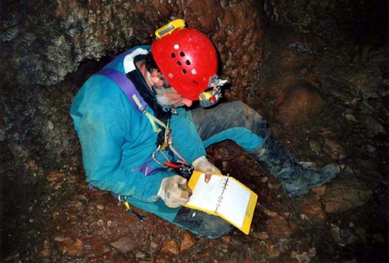
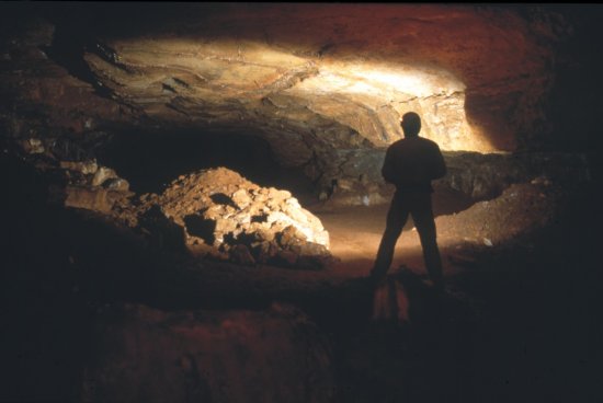
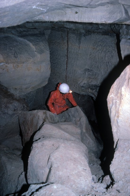
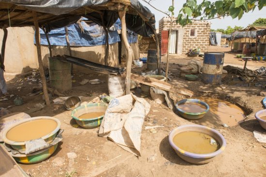
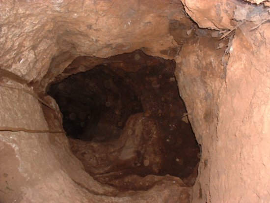
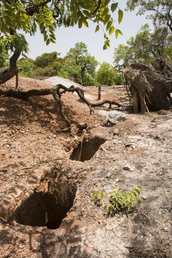
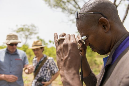
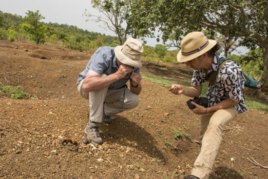
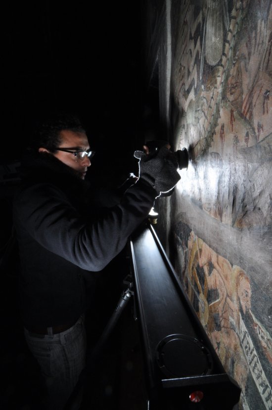
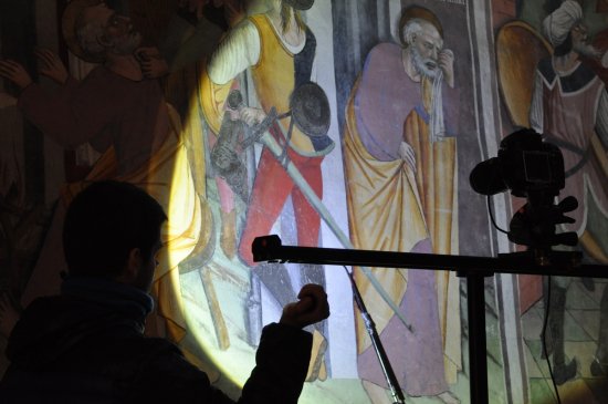
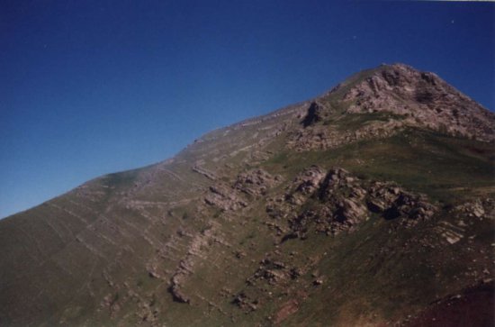
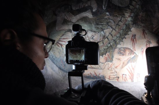
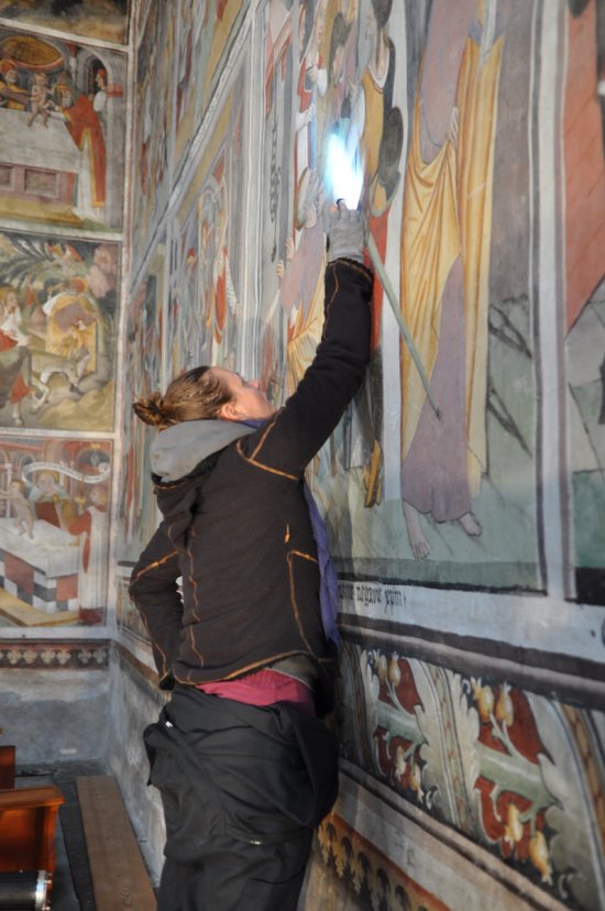
Scientifique réalisant la topographie des structures d'extraction au GPS différentiel : minières et
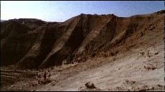
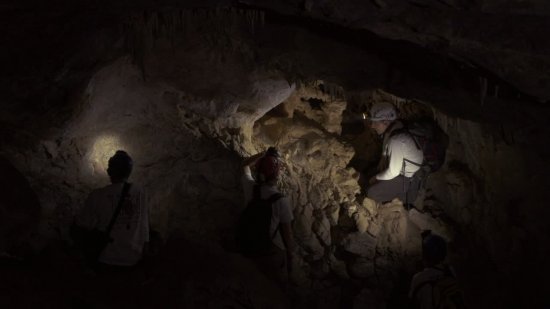
Scientifique réalisant la topographie des structures d'extraction au GPS différentiel : minières et haldes (déblais miniers). Cime du Fer (2 700 m), parc national du Mercantour, où ont été mises au jour des traces d'activités minières et sidérurgiques anciennes datant du IIe siècle avant J.-C. au VIIe siècle après J.-C.
Add to my selection
Terms of use
The use of media visible on the CNRS Images Platform can be granted on request. Any reproduction or representation is forbidden without prior authorization from CNRS Images (except for resources under Creative Commons license).
No modification of an image may be made without the prior consent of CNRS Images.
No use of an image for advertising purposes or distribution to a third party may be made without the prior agreement of CNRS Images.
For more information, please consult our general conditions