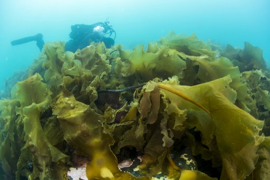
Research program(s)
Production year
2005

© Emmanuel PERRIN/CNRS Images
20050001_1548
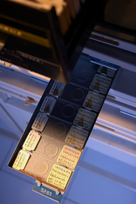
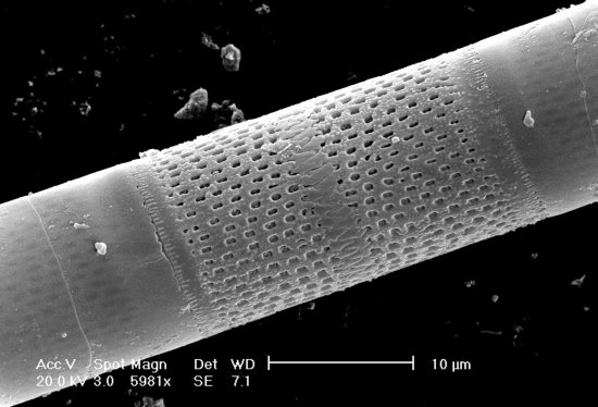
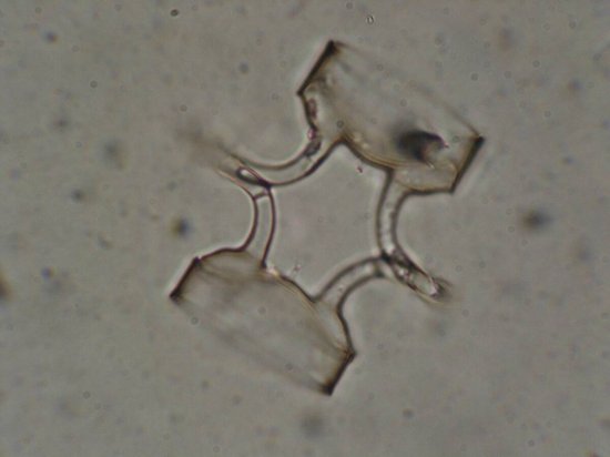
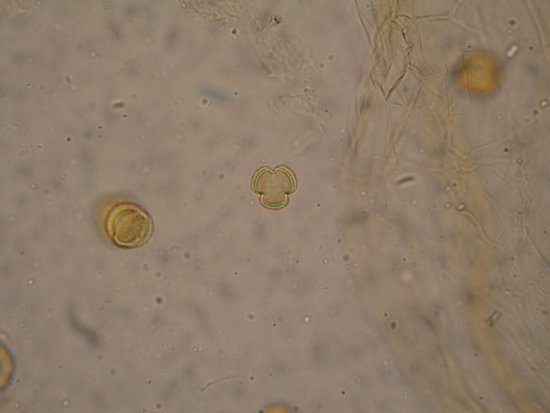
Carte des températures terrestres d'Europe il y a 21 000 ans reconstruites à partir de données polliniques (en arrière-plan : analyse palynologique au microscope optique). La construction de cartes climatiques permet de tester la validité des modèles climatiques quand ils simulent les climats du passé (projet international PMIP "Paleoclimate Modelling Intercomparison Project")
The use of media visible on the CNRS Images Platform can be granted on request. Any reproduction or representation is forbidden without prior authorization from CNRS Images (except for resources under Creative Commons license).
No modification of an image may be made without the prior consent of CNRS Images.
No use of an image for advertising purposes or distribution to a third party may be made without the prior agreement of CNRS Images.
For more information, please consult our general conditions
2005
Our work is guided by the way scientists question the world around them and we translate their research into images to help people to understand the world better and to awaken their curiosity and wonderment.