Production year
1999

© Richard LAMOUREUX/CNRS Images
19990001_0210
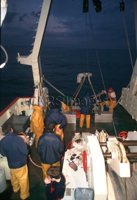
Les marins manoeuvrent la benne Hamon pendant que les scientifiques traitent les échantillons de sédiments. Le but de cette mission à bord du "Côtes de la Manche" est de réaliser la première cartographie quantitative de la macrofaune en relation avec la répartition des sédiments, de la chlorophylle et des matières organiques le long des côtes françaises de la Manche orientale. A partir des résultats des analyses, les chercheurs construisent des modèles dynamiques de populations marines dans le cas d'une mer de faible profondeur et à fortes marées (Réf. Le Journal du CNRS Juin 1998).
The use of media visible on the CNRS Images Platform can be granted on request. Any reproduction or representation is forbidden without prior authorization from CNRS Images (except for resources under Creative Commons license).
No modification of an image may be made without the prior consent of CNRS Images.
No use of an image for advertising purposes or distribution to a third party may be made without the prior agreement of CNRS Images.
For more information, please consult our general conditions
1999
Our work is guided by the way scientists question the world around them and we translate their research into images to help people to understand the world better and to awaken their curiosity and wonderment.