© Pierre GENTELLE/CNRS Images
Reference
19930001_0729
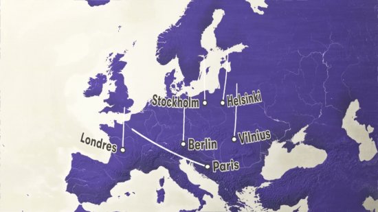
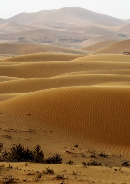
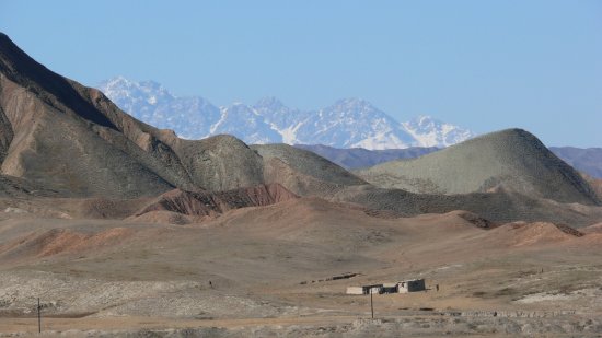
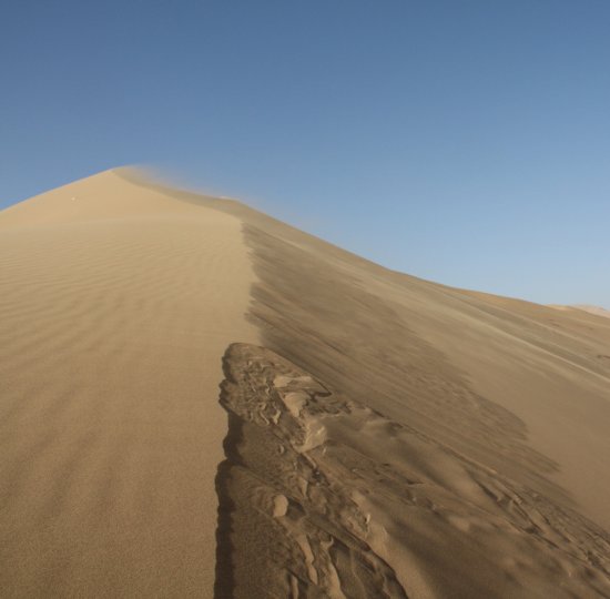
Carte d'une expédition scientifique traversant les 450 km du désert chinois du Taklamakan, entre les
Carte d'une expédition scientifique traversant les 450 km du désert chinois du Taklamakan, entre les montagnes de l'Afghanistan et du Tibet.
Add to my selection
Terms of use
The use of media visible on the CNRS Images Platform can be granted on request. Any reproduction or representation is forbidden without prior authorization from CNRS Images (except for resources under Creative Commons license).
No modification of an image may be made without the prior consent of CNRS Images.
No use of an image for advertising purposes or distribution to a third party may be made without the prior agreement of CNRS Images.
For more information, please consult our general conditions