© CNRS Images
Reference
19920001_0221
Modèle numérique de terrain représentant les déformations subies par l' écorce terrestre dans la rég
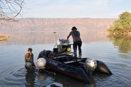
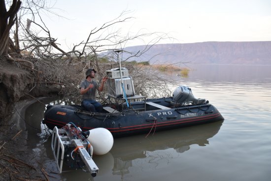
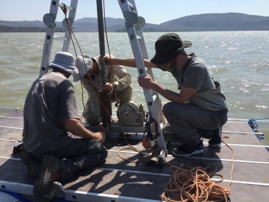
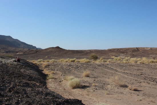
Modèle numérique de terrain représentant les déformations subies par l' écorce terrestre dans la région de l'Afar au Nord-Est de l'Afrique. Noir à bleu: -1600 à -728 m / Vert à jaune : -728 à -144 m / Jaune : 144 à 580 m / Orange à rouge : 580 à 1870 m / Blanc : 1670 à 1888 m ( un pixel = 250 m) (Réf. CNRS-INFO N°245 Juin 1992).
Add to my selection
Terms of use
The use of media visible on the CNRS Images Platform can be granted on request. Any reproduction or representation is forbidden without prior authorization from CNRS Images (except for resources under Creative Commons license).
No modification of an image may be made without the prior consent of CNRS Images.
No use of an image for advertising purposes or distribution to a third party may be made without the prior agreement of CNRS Images.
For more information, please consult our general conditions