© BLAMONT/MERING/CNRS Images
Reference
19890001_0149
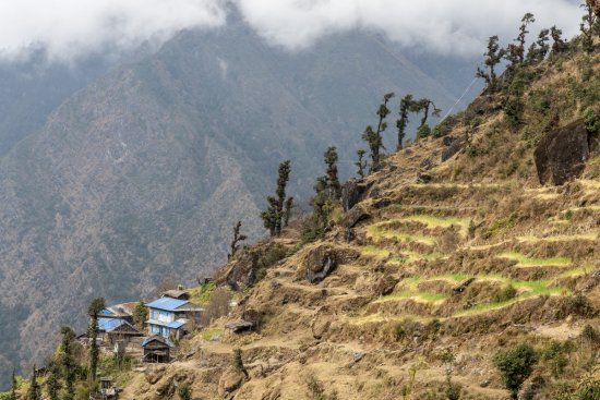
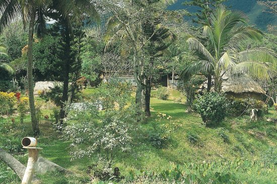
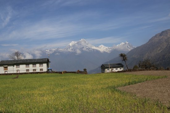
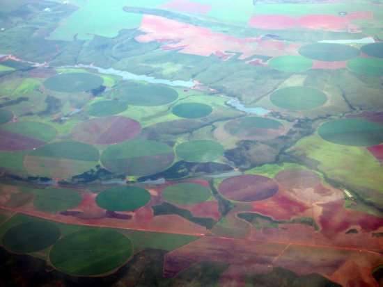
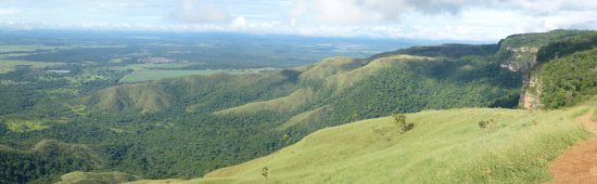
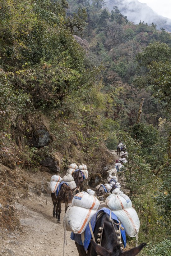
Carte intermédiaire d'une chaîne de traitement pilotée par un système expert, utilisant la radiomé
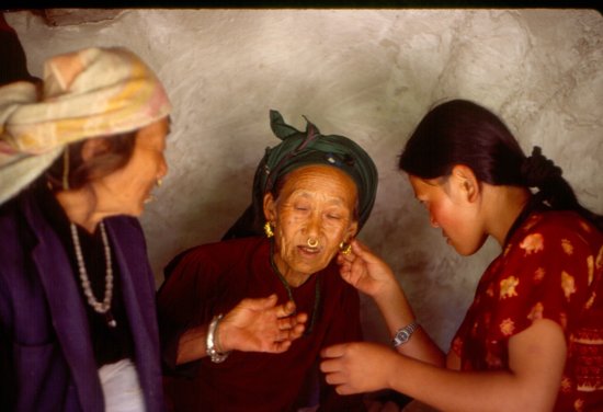
Carte intermédiaire d'une chaîne de traitement pilotée par un système expert, utilisant la radiométrie et un modèle numérique de terrain, pour la cartographie de la végétation et de l'occupation des sols par télédétection. Ici l'exemple du centre du Népal.
Add to my selection
Terms of use
The use of media visible on the CNRS Images Platform can be granted on request. Any reproduction or representation is forbidden without prior authorization from CNRS Images (except for resources under Creative Commons license).
No modification of an image may be made without the prior consent of CNRS Images.
No use of an image for advertising purposes or distribution to a third party may be made without the prior agreement of CNRS Images.
For more information, please consult our general conditions