© LEGOS / CNRS Audiovisuel - 1999
Reference
385
Ocean tides
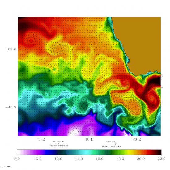
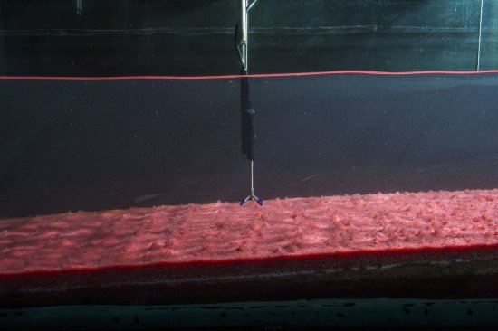
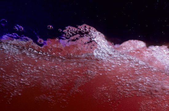
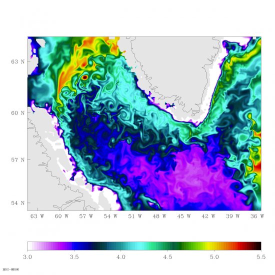
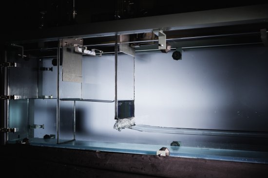
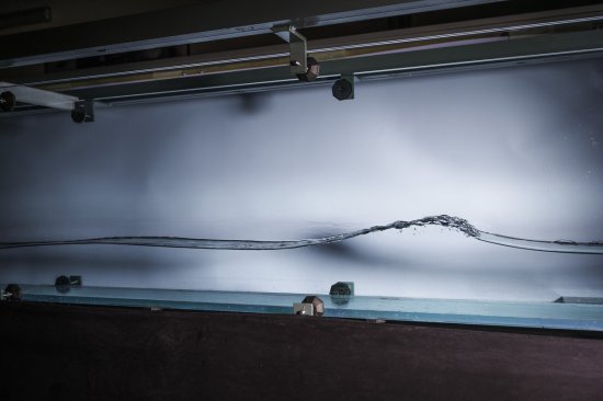
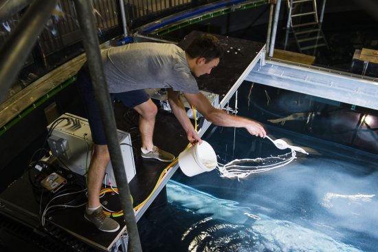
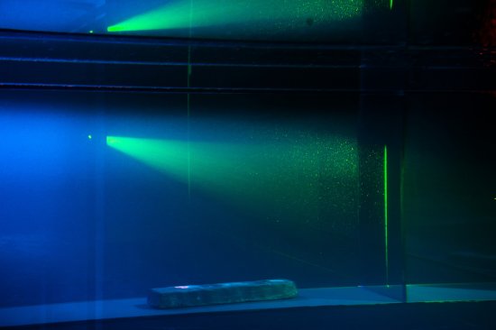
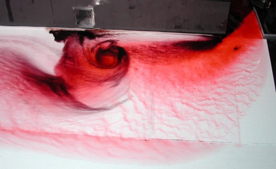
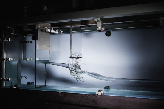
Satellite measurements make it possible to represent visually the variations in the level of different seas. These variations in level result from the combination of many factors, and are called ocean tides.
Duration
Production year
Définition
Color
Sound
Version(s)
Original material
The use of media visible on the CNRS Images Platform can be granted on request. Any reproduction or representation is forbidden without prior authorization from CNRS Images (except for resources under Creative Commons license).
No modification of an image may be made without the prior consent of CNRS Images.
No use of an image for advertising purposes or distribution to a third party may be made without the prior agreement of CNRS Images.
For more information, please consult our general conditions

