Production year
2012

© Guillaume BOUGER / OSUR / CNRS Images
20190018_0028
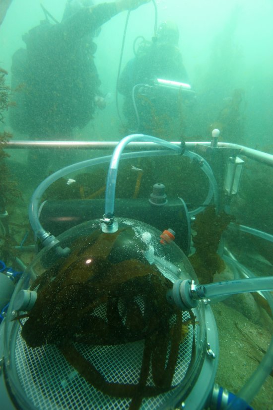
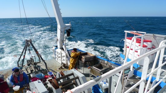
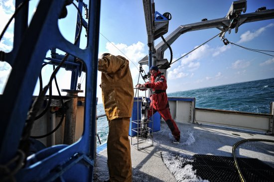
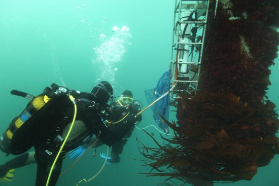
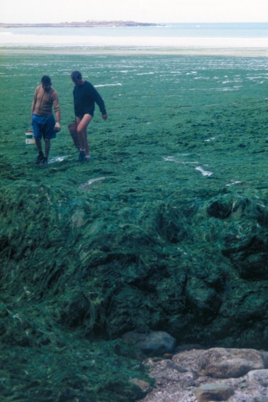
Relevés lidar au Mont-Saint-Michel. Ces relevés permettent un suivi de la sédimentation et de l’érosion au fil des marées. Le lidar est une technique de mesure à distance qui repose sur des lasers.
The use of media visible on the CNRS Images Platform can be granted on request. Any reproduction or representation is forbidden without prior authorization from CNRS Images (except for resources under Creative Commons license).
No modification of an image may be made without the prior consent of CNRS Images.
No use of an image for advertising purposes or distribution to a third party may be made without the prior agreement of CNRS Images.
For more information, please consult our general conditions
2012
Our work is guided by the way scientists question the world around them and we translate their research into images to help people to understand the world better and to awaken their curiosity and wonderment.