Production year
2012

© Thibaut VERGOZ/CNRS Images
20130001_0610
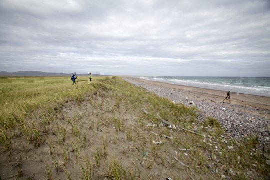
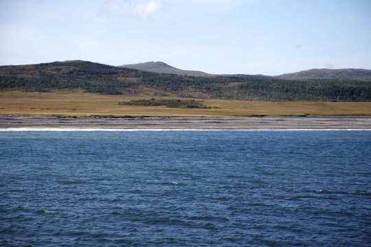
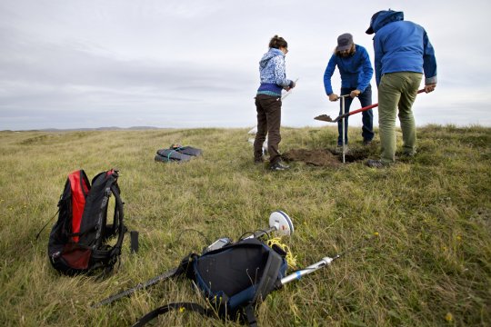
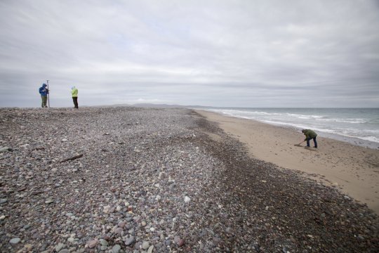
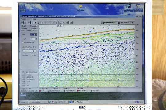
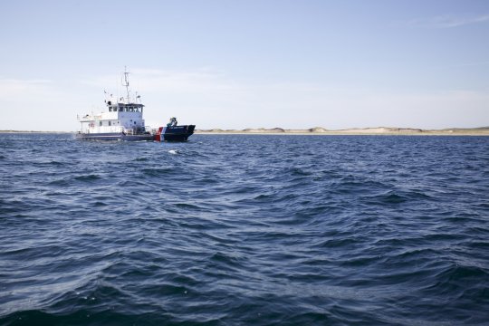
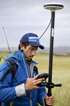
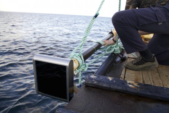
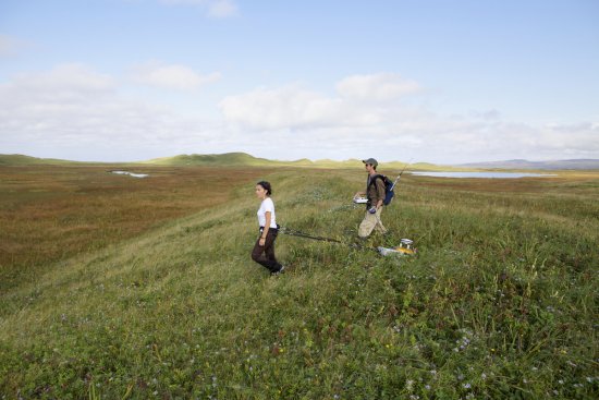
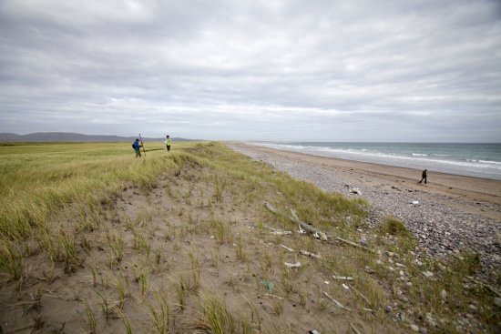
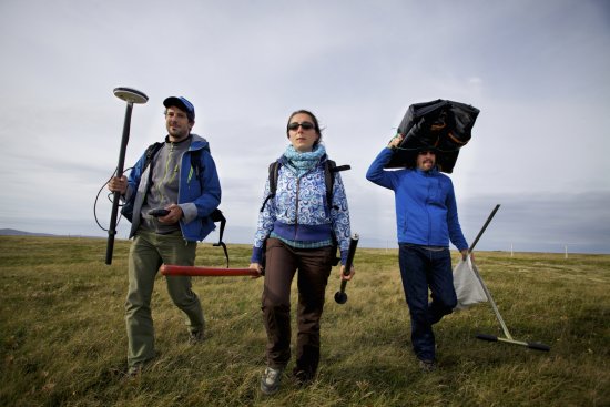
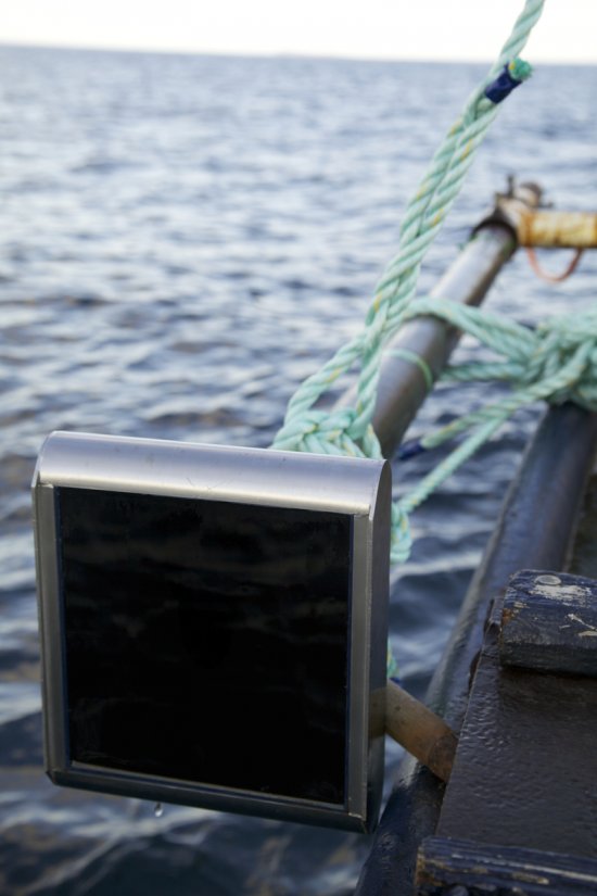
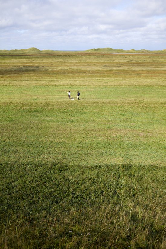
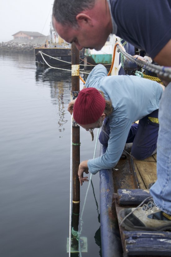
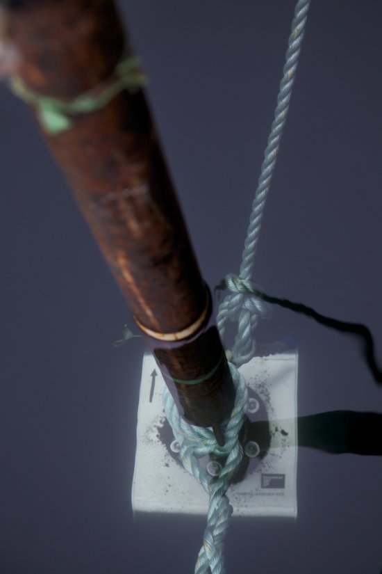
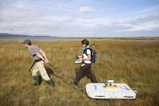
Étude d'une carte topographique de l'isthme Miquelon-Langlade, dans l'archipel de Saint-Pierre-et-Miquelon. Ces scientifiques appartiennent au WHOI (Woods hole oceanographic institution) et au CEFREM (Centre de formation et de recherche sur les environnements méditerranéens). Ils vont réaliser des profils du sous-sol de l'isthme, afin de comprendre sa formation et son évolution dans le temps et dans l'espace. Pour cela, ils utilisent un système géoradar (radar à pénétration de sol) qui enregistre et affiche en temps réel le profil du sous-sol. L'objectif est de comprendre l'architecture interne de l'isthme, afin de remonter aux grandes étapes de sa formation.
The use of media visible on the CNRS Images Platform can be granted on request. Any reproduction or representation is forbidden without prior authorization from CNRS Images (except for resources under Creative Commons license).
No modification of an image may be made without the prior consent of CNRS Images.
No use of an image for advertising purposes or distribution to a third party may be made without the prior agreement of CNRS Images.
For more information, please consult our general conditions
2012
Our work is guided by the way scientists question the world around them and we translate their research into images to help people to understand the world better and to awaken their curiosity and wonderment.