© CNRS Images
Reference
19900001_0150
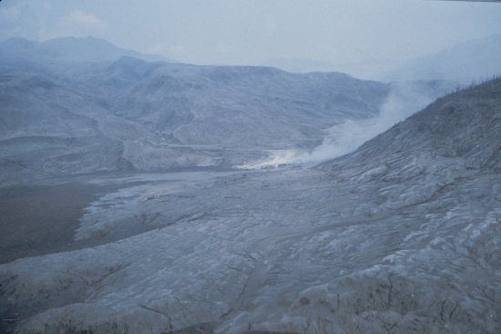
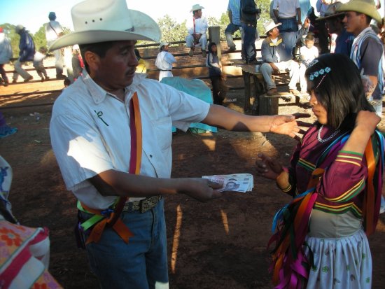
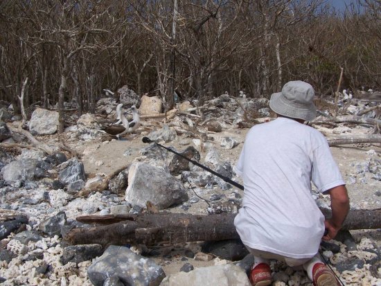
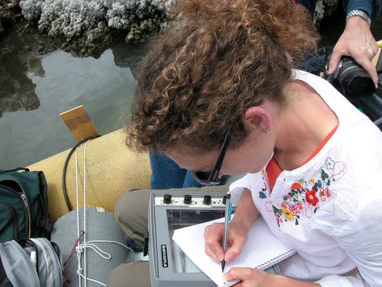
Mesures du programme GPS (Global Positionning System) et de géodésie terrestre lors de l'expérience
Mesures du programme GPS (Global Positionning System) et de géodésie terrestre lors de l'expérience Jalisco, en novembre 1989 au Mexique. (Réf: Le Courrier du CNRS : La Terre n° 76 Juillet 1990).
Add to my selection
Terms of use
The use of media visible on the CNRS Images Platform can be granted on request. Any reproduction or representation is forbidden without prior authorization from CNRS Images (except for resources under Creative Commons license).
No modification of an image may be made without the prior consent of CNRS Images.
No use of an image for advertising purposes or distribution to a third party may be made without the prior agreement of CNRS Images.
For more information, please consult our general conditions