Only available for non-commercial distribution
© CNRS Images - 2018
Reference
6508
Mapping our galaxy
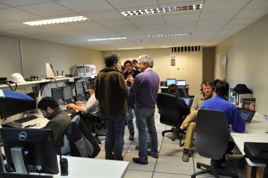
The Gaia satellite is dedicated to astrometry and was launched by ESA in 2013 to map our galaxy in 3D. A team of engineers and researchers from the Paris Observatory based in Meudon is taking part in this mission to try to find out the position and movement of the stars. The probe scans the universe continuously and sends a large amount of data a part of which is studied and analysed by the Observatory team. The results of the European Gaia mission are published in a catalogue and help us to understand how our galaxy was formed and may reveal the existence of new planets.
Duration
Production year
Définition
Color
Sound
Version(s)
Original material
The use of media visible on the CNRS Images Platform can be granted on request. Any reproduction or representation is forbidden without prior authorization from CNRS Images (except for resources under Creative Commons license).
No modification of an image may be made without the prior consent of CNRS Images.
No use of an image for advertising purposes or distribution to a third party may be made without the prior agreement of CNRS Images.
For more information, please consult our general conditions

