Only available for non-commercial distribution
© CNRS - 2024
Reference
8095
Cartographier Carnac
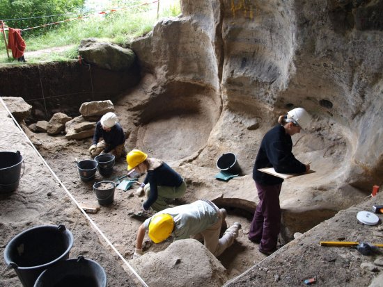
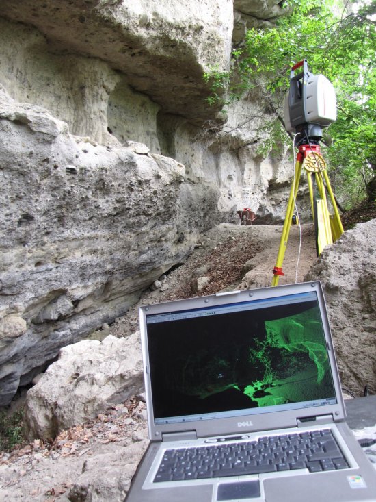
Qui a construit les alignements de Carnac, et pourquoi ? Une équipe d'archéologues et de géophysiciens cartographie le sous-sol du site néolithique de Carnac érigé il y a près de 7 000 ans en Bretagne, à la recherche de menhirs enfouis, carrières, fossés et traces d'habitats., à la recherche de menhirs enfouis, carrières, fossés et traces d'habitats. Grâce à des technologies innovantes et non-invasives, comme un magnétomètre ou un radar volant, ils espèrent mieux comprendre le contexte de création des alignements et le mode de vie des bâtisseurs.
Duration
Production year
Définition
Color
Sound
Version(s)
Original material
The use of media visible on the CNRS Images Platform can be granted on request. Any reproduction or representation is forbidden without prior authorization from CNRS Images (except for resources under Creative Commons license).
No modification of an image may be made without the prior consent of CNRS Images.
No use of an image for advertising purposes or distribution to a third party may be made without the prior agreement of CNRS Images.
For more information, please consult our general conditions

