© Frédéric CHRISTOPHOUL/CNRS Images
Reference
20060001_1012
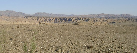
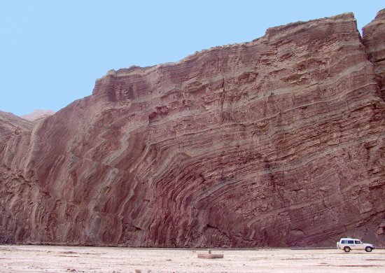
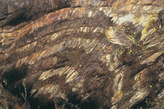
Cône alluvial, la partie gauche correspond à un lobe abandonné et la partie droite au lobe actif. Le
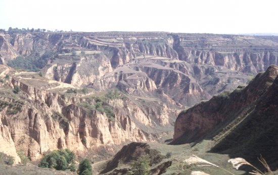
Cône alluvial, la partie gauche correspond à un lobe abandonné et la partie droite au lobe actif. Le changement de couleur marron clair / marron foncé marque la limite inférieure de la zone de sheetflooding. Chine, limite de la chaîne d'Altyn-Tagh et du désert de Taklamakan. Photo satellite Landsat 7 à 14,25 m/pixel (niveau de détail) drappée sur MNT SRTM à 90 m.
Add to my selection
Terms of use
The use of media visible on the CNRS Images Platform can be granted on request. Any reproduction or representation is forbidden without prior authorization from CNRS Images (except for resources under Creative Commons license).
No modification of an image may be made without the prior consent of CNRS Images.
No use of an image for advertising purposes or distribution to a third party may be made without the prior agreement of CNRS Images.
For more information, please consult our general conditions