Production year
2005

© MAP/CNRS Images
20050001_1154
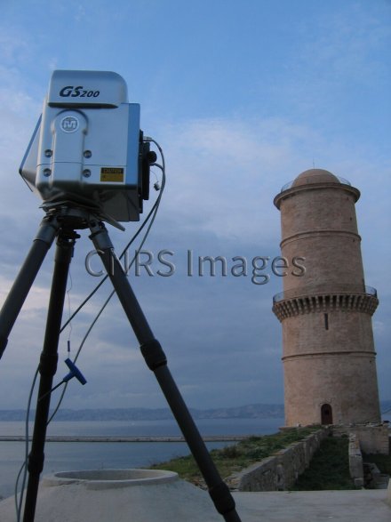
Relevé laser au Fort Saint Jean à Marseille. Vue sur la Tour du Fanal. Cette étape consiste à mesurer l'édifice de la façon la plus complète possible. L'appareil utilisé est un laser longue portée à temps de vol qui opère avec une précision de 1/2 cm entre 2 m et 200 m. Le relevé réalisé en quelques minutes produit un "nuage" de plusieurs millions de points 3D sur lequel s'appuiera la modélisation architecturale.
The use of media visible on the CNRS Images Platform can be granted on request. Any reproduction or representation is forbidden without prior authorization from CNRS Images (except for resources under Creative Commons license).
No modification of an image may be made without the prior consent of CNRS Images.
No use of an image for advertising purposes or distribution to a third party may be made without the prior agreement of CNRS Images.
For more information, please consult our general conditions
2005
Our work is guided by the way scientists question the world around them and we translate their research into images to help people to understand the world better and to awaken their curiosity and wonderment.