Production year
2014

© Cyril FRESILLON/IRSTEA/CNRS Images
20140001_1532
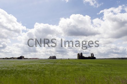
Champ cultivé, au sud de la zone tampon humide artificielle de Rampillon, en Seine-et-Marne. Il est drainé par des tuyaux enterrés, comme 10 % de la surface agricole en France, pour évacuer les eaux de pluie excédentaires vers la zone tampon. Cette parcelle fait partie du bassin versant sur lequel les scientifiques et acteurs locaux mènent des actions préventives, pour retrouver le bon état chimique des masses d'eau souterraine.
The use of media visible on the CNRS Images Platform can be granted on request. Any reproduction or representation is forbidden without prior authorization from CNRS Images (except for resources under Creative Commons license).
No modification of an image may be made without the prior consent of CNRS Images.
No use of an image for advertising purposes or distribution to a third party may be made without the prior agreement of CNRS Images.
For more information, please consult our general conditions
2014
Our work is guided by the way scientists question the world around them and we translate their research into images to help people to understand the world better and to awaken their curiosity and wonderment.